MyTopo
Parkston South Dakota US Topo Map
Couldn't load pickup availability
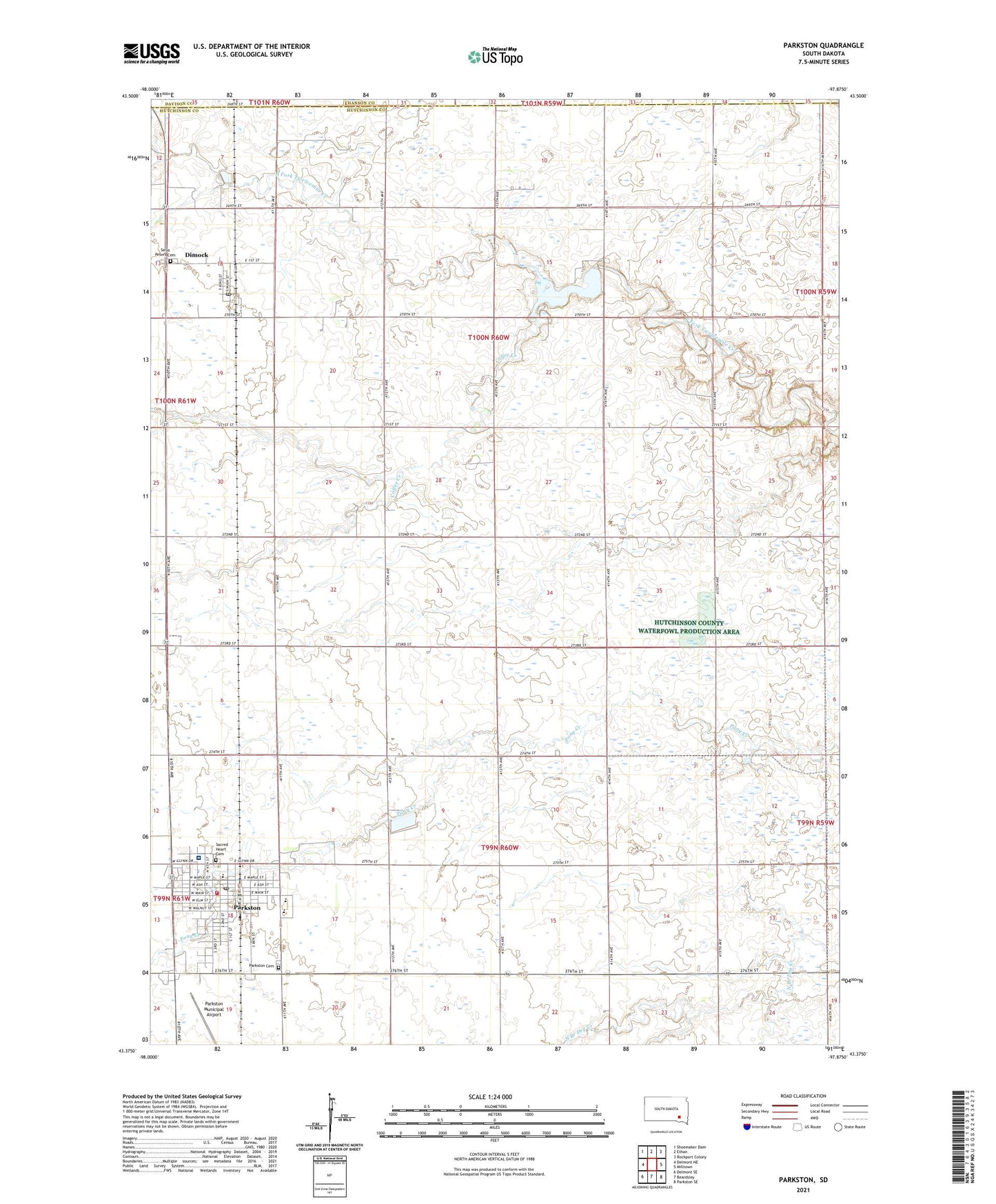
2021 topographic map quadrangle Parkston in the state of South Dakota. Scale: 1:24000. Based on the newly updated USGS 7.5' US Topo map series, this map is in the following counties: Hutchinson, Hanson, Davison. The map contains contour data, water features, and other items you are used to seeing on USGS maps, but also has updated roads and other features. This is the next generation of topographic maps. Printed on high-quality waterproof paper with UV fade-resistant inks.
Quads adjacent to this one:
West: Delmont NE
Northwest: Shoemaker Dam
North: Ethan
Northeast: Rockport Colony
East: Milltown
Southeast: Parkston SE
South: Beardsley
Southwest: Delmont SE
Contains the following named places: Avera Saint Benedict Health Center Hospital, City of Parkston, Coffee Creek, Dakota City, Dimock, Dimock Dam, Dimock Post Office, Lake Dimock, Parkston, Parkston Cemetery, Parkston City Hall, Parkston Elementary School, Parkston High School, Parkston Junior High School, Parkston Municipal Airport, Parkston Police Department, Parkston Post Office, Parkston Public Library, Parkston Rural Ambulance District, Parkston Volunteer Fire Department, Sacred Heart Cemetery, Saint Peters Cemetery, Town of Dimock, Township of Cross Plains, Township of Liberty, Township of Providence, ZIP Code: 57366