MyTopo
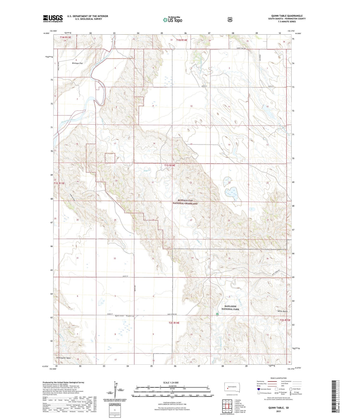
Quinn Table South Dakota US Topo Map
Couldn't load pickup availability
Also explore the Quinn Table Forest Service Topo of this same quad for updated USFS data
2021 topographic map quadrangle Quinn Table in the state of South Dakota. Scale: 1:24000. Based on the newly updated USGS 7.5' US Topo map series, this map is in the following counties: Pennington. The map contains contour data, water features, and other items you are used to seeing on USGS maps, but also has updated roads and other features. This is the next generation of topographic maps. Printed on high-quality waterproof paper with UV fade-resistant inks.
Quads adjacent to this one:
West: Brennan Flat
Northwest: Owanka
North: Wasta
Northeast: Wasta SE
East: Quinn Table NE
Southeast: Quinn Table SE
South: Quinn Table SW
Southwest: Scenic
This map covers the same area as the classic USGS quad with code o43102h4.
Contains the following named places: Camp Judson, Camp Judson Post Office, Dry Creek, Lakner Dam, Lincoln School, Middle Fork Sage Creek, Percy Dam, Quinn Table, Quinn Table School, Sage Creek, Sage Creek Primitive Ground, South Fork Sage Creek, Township of Crooked Creek, White Butte