MyTopo
Saint Onge SE South Dakota US Topo Map
Couldn't load pickup availability
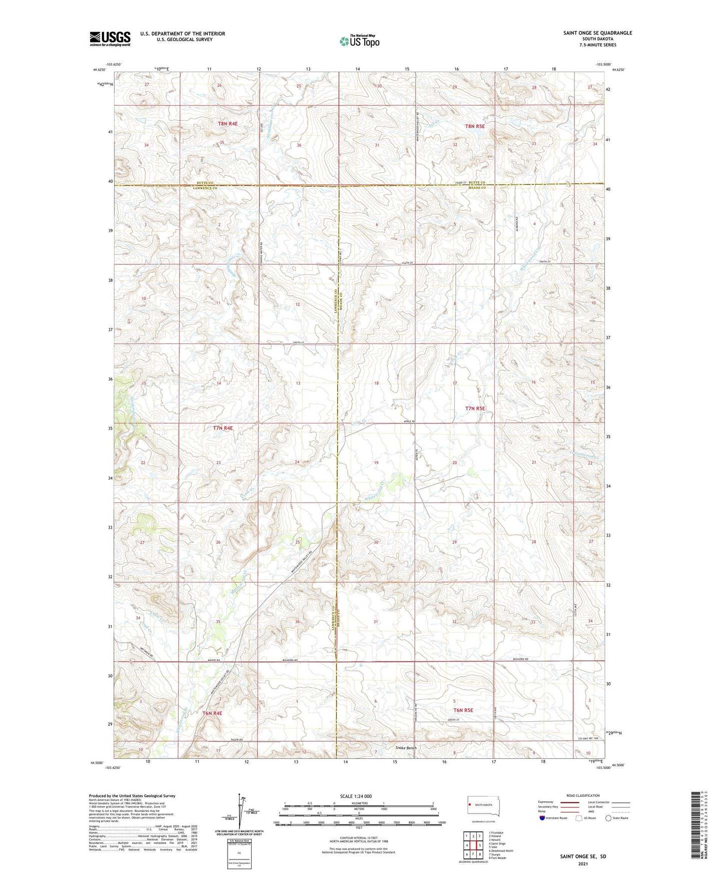
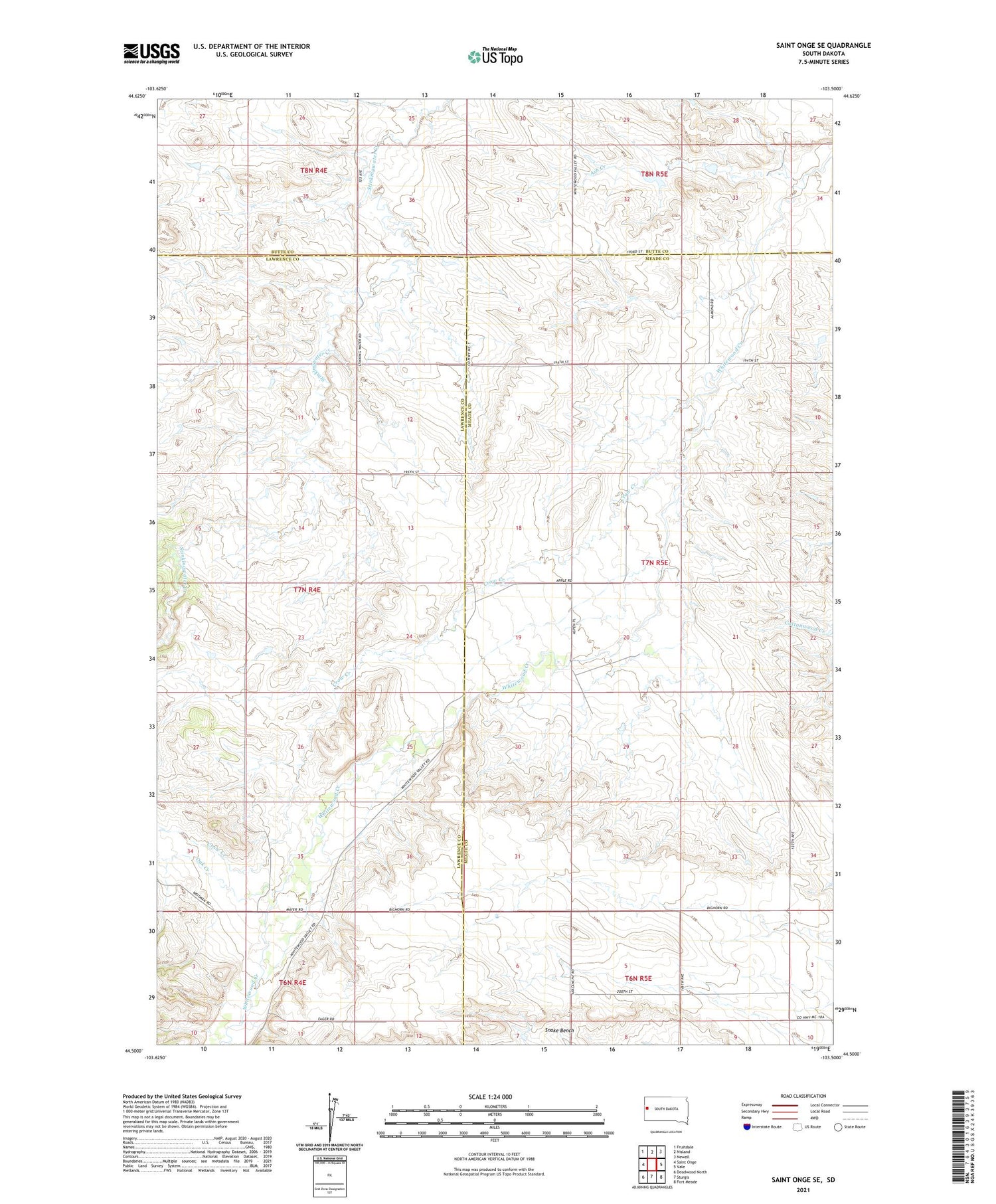
2021 topographic map quadrangle Saint Onge SE in the state of South Dakota. Scale: 1:24000. Based on the newly updated USGS 7.5' US Topo map series, this map is in the following counties: Meade, Lawrence, Butte. The map contains contour data, water features, and other items you are used to seeing on USGS maps, but also has updated roads and other features. This is the next generation of topographic maps. Printed on high-quality waterproof paper with UV fade-resistant inks.
Quads adjacent to this one:
West: Saint Onge
Northwest: Fruitdale
North: Nisland
Northeast: Newell
East: Vale
Southeast: Fort Meade
South: Sturgis
Southwest: Deadwood North
Contains the following named places: Ash Creek, Bench School, Big Bottom, Big Bottom School, Crow Creek, Hathaway School, Loup School, Oak Creek, Oakdale School, ZIP Code: 57793