MyTopo
Brownsville Tennessee US Topo Map
Couldn't load pickup availability
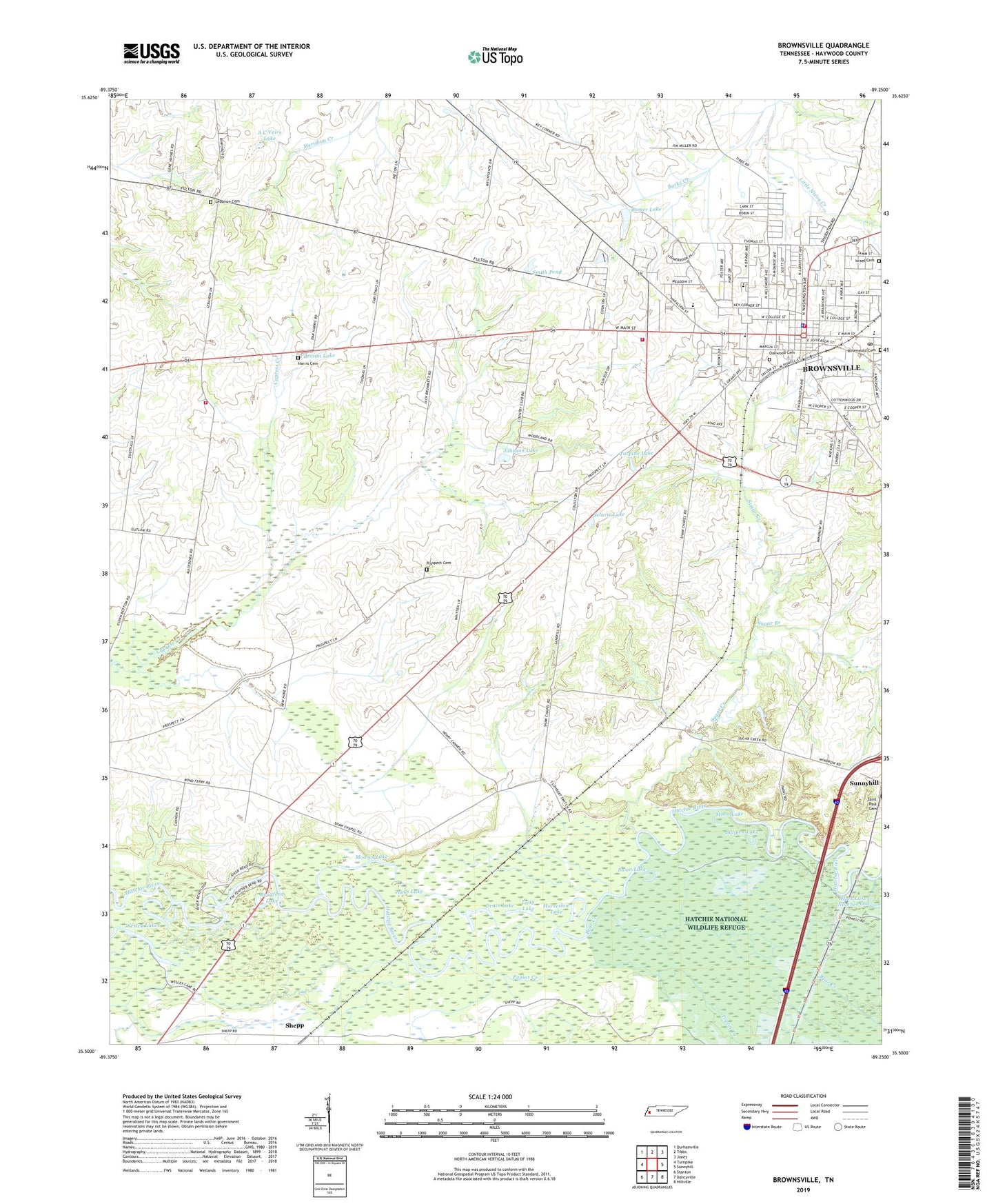
2022 topographic map quadrangle Brownsville in the state of Tennessee. Scale: 1:24000. Based on the newly updated USGS 7.5' US Topo map series, this map is in the following counties: Haywood. The map contains contour data, water features, and other items you are used to seeing on USGS maps, but also has updated roads and other features. This is the next generation of topographic maps. Printed on high-quality waterproof paper with UV fade-resistant inks.
Quads adjacent to this one:
West: Turnpike
Northwest: Durhamville
North: Tibbs
Northeast: Jones
East: Sunnyhill
Southeast: Hillville
South: Dancyville
Southwest: Stanton
This map covers the same area as the classic USGS quad with code o35089e3.
Contains the following named places: A C Veirs Dam, A C Veirs Lake, Anderson Grammar School, B W Cobb Lake, B W Cobb Lake Dam, Bear Creek, Berson Lake, Bomer City Park, Bomer Lake, Bradford Lake, Bradford Square Shopping Center, Brownsville, Brownsville - Haywood County Fire Department District 5, Brownsville Baptist Church, Brownsville City Hall, Brownsville Country Club, Brownsville Division, Brownsville Fire Department Station 1, Brownsville Fire Department Station 3, Brownsville Police Department, Brownsville Post Office, Brownsville-Haywood County Library, Bucks Creek, Bullpen Lake, Calvary Baptist Church, Carver High School, Christ Episcopal Church, Church of Christ, Church of God in Christ, City of Brownsville, College Hill Community Center, College Hill Historic District, Commissioner District 1, Commissioner District 4, Cuthbert Switch, Cuthbert Switch School, Drain Lake, Farmers Chapel Christian Methodist Episcopal Church, First Baptist Church of Brownsville, First Methodist Church, First Presbyterian Church of Brownsville, Greenwood School, Harris Cemetery, Hart Lake Number One, Haynes Chapel School, Haywood County, Haywood County Courthouse, Haywood County Jail, Haywood County Memorial Hospital, Haywood Elementary School, Haywood Heights, Haywood Junior High School, Horseshoe Lake, Israel Cemetery, Jacks Lake, Johnson Lake, Lebanon, Lebanon Cemetery, Lebanon Church, Lebanon School, Long Lake, Macedonia, Macedonia Church, Macedonia School, Moon Lake, Moores Lake, New Hope Church, Oakwood Cemetery, Patton School, Prospect Cemetery, Prospect Church, Prospect School, Rosenwald Cemetery, Saint Johns Roman Catholic Church, Selaris Lake, Shaws Chapel School, Shepp, Shepp School, Smith Pond, Sonny Jernigen Dam, Sonny Jernigen Lake, Sugar Branch, Sugar Creek, Swan Lake, Temple Adas Israel, Turpine Lake, Wesley Lakes, Wilson School, Zion Church, ZIP Code: 38012