MyTopo
Chic Tennessee US Topo Map
Couldn't load pickup availability
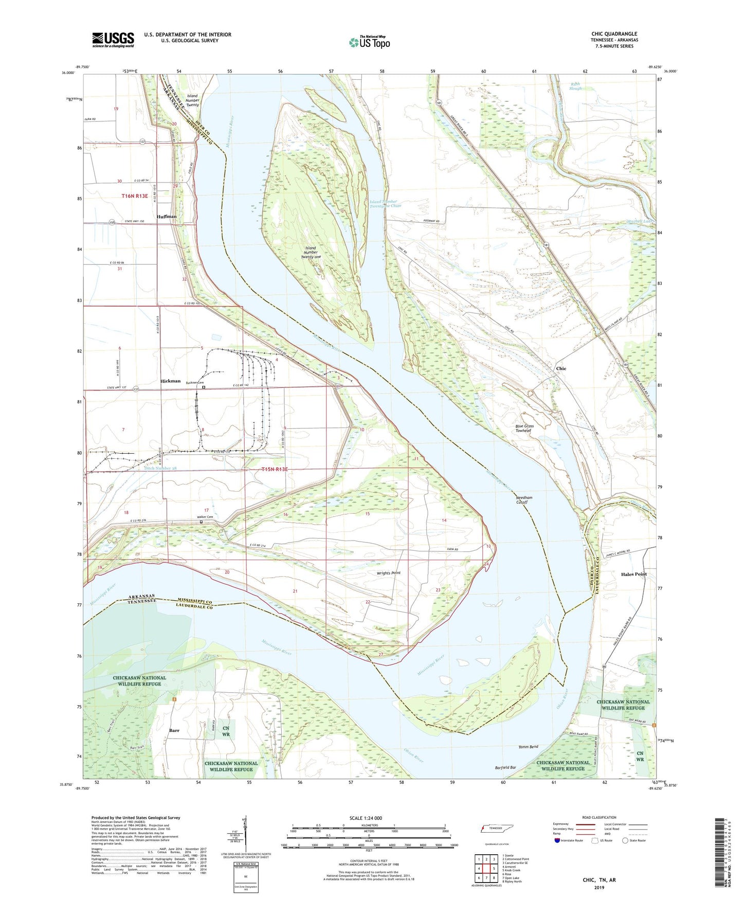
2019 topographic map quadrangle Chic in the states of Tennessee, Arkansas. Scale: 1:24000. Based on the newly updated USGS 7.5' US Topo map series, this map is in the following counties: Dyer, Mississippi, Lauderdale. The map contains contour data, water features, and other items you are used to seeing on USGS maps, but also has updated roads and other features. This is the next generation of topographic maps. Printed on high-quality waterproof paper with UV fade-resistant inks.
Quads adjacent to this one:
West: Armorel
Northwest: Steele
North: Cottonwood Point
Northeast: Caruthersville SE
East: Knob Creek
Southeast: Ripley North
South: Open Lake
Southwest: Rosa
Contains the following named places: Barfield Bar, Barr, Barr Landing, Barr School, Below Tamm Bend Dikes, Blue Grass Towhead, Buckner Cemetery, Cheek Landing, Chic, Chick School, Church of God, District 11, Ditch Number 38, Hales Point, Hales Point Church, Hales Point Landing, Hickman, Hickman Chapel, Hickman Landing, Hickman Revetment, Huffman, Huffman Landing, Hughes Landing, Island Number Twenty-one, Island Number Twentyone Chute, Island Number Twentyone Chute Dike, Marys Chapel Baptist Church, Michell, Midway Landing, Mitchell Lake, Mouth of River Styx Landing, Nebraska Landing, Needham Cutoff, New Mitchell Grove Church, Obion River, Saint Luke Church, Saint Marys Church, School Number 48, Tamm Bend, Tamm Landing, Township of Canadian, Township of Hickman, Walker Cemetery, Wrights Point, Wrights Point Dikes, Wrights Point Landing