MyTopo
De Rossett Tennessee US Topo Map
Couldn't load pickup availability
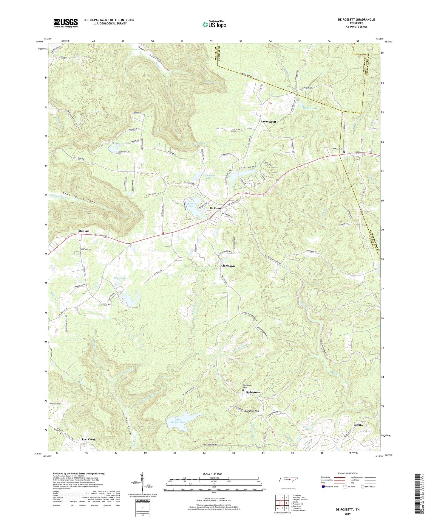
2022 topographic map quadrangle De Rossett in the state of Tennessee. Scale: 1:24000. Based on the newly updated USGS 7.5' US Topo map series, this map is in the following counties: White, Putnam, Cumberland. The map contains contour data, water features, and other items you are used to seeing on USGS maps, but also has updated roads and other features. This is the next generation of topographic maps. Printed on high-quality waterproof paper with UV fade-resistant inks.
Quads adjacent to this one:
West: Sparta
Northwest: Dry Valley
North: Monterey Lake
Northeast: Campbell Junction
East: Pleasant Hill
Southeast: Herbert Domain
South: Lonewood
Southwest: Bald Knob
This map covers the same area as the classic USGS quad with code o35085h3.
Contains the following named places: Anderson Cemetery, Arrowhead Lake, Arrowhead Lake Dam, Big Lost Creek, Billy Branch Dam, Billy Branch Lake, Bon Air, Bon Air Cemetery, Bon Air Census Designated Place, Bon Air School, Bon De Croft Division, Bon De Croft Elementary School, BonDeCroft Volunteer Fire Department, Buck Creek Lake, Camp Belle Aire, Chestnut Mountain, Clarktown, Commissioner District 4, Davis Lake Dam Number Two, Davis Lake Number Two, De Rossett, De Rossett Church of Christ, District 9 Eastland Fire and Rescue, Doe Creek Lake, Doe Creek Lake Dam, Eastland Stand, Key Acres Dam, Key Acres Lake, Little Lost Creek, Lost Creek, Lost Creek Cemetery, McKinney Cemetery, Millsea Branch, Mobra, Payne Lake, Payne Lake Dam, Pole Bridge Branch, Ravenscroft, Ravenscroft School, Saint Charles Church, Spain Lake, Spain Lake Dam, Stringtown, Stringtown Cemetery, Twin Branch, Wonder Dam, Wonder Lake


