MyTopo
Monterey Tennessee US Topo Map
Couldn't load pickup availability
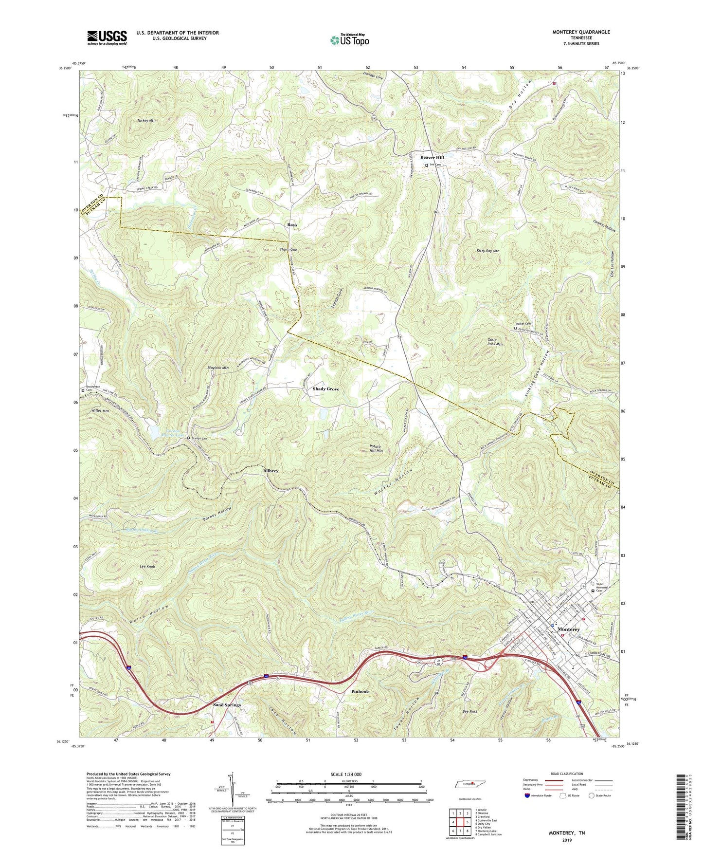
2022 topographic map quadrangle Monterey in the state of Tennessee. Scale: 1:24000. Based on the newly updated USGS 7.5' US Topo map series, this map is in the following counties: Putnam, Overton. The map contains contour data, water features, and other items you are used to seeing on USGS maps, but also has updated roads and other features. This is the next generation of topographic maps. Printed on high-quality waterproof paper with UV fade-resistant inks.
Quads adjacent to this one:
West: Cookeville East
Northwest: Windle
North: Okalona
Northeast: Crawford
East: Obey City
Southeast: Campbell Junction
South: Monterey Lake
Southwest: Dry Valley
This map covers the same area as the classic USGS quad with code o36085b3.
Contains the following named places: Beaver Hill, Bee Rock, Bilbrey, Blaylock Mountain, Brotherton Cemetery, Buckner Hollow, Bushing, Cannon Hollow, Cedar Spring, Cedar Springs Church, Church of God of Prophecy, Douglas Chapel, Dry Hollow Volunteer Fire Department, Ford Estates, Gordan Hunter Dam, Gordan Hunter Lake, Kitty Ray Mountain, Lee Cemetery, Lee Knob, Monterey, Monterey Church of the Nazarene, Monterey City Hall, Monterey Division, Monterey First Baptist Church, Monterey Freewill Baptist Church, Monterey High School, Monterey Methodist Church, Monterey Police Department, Monterey Post Office, Monterey Public Library, Monterey Volunteer Fire Department, Pinhook, Pleasant Ridge Church, Pleasant Shade School, Potato Hill Mountain, Putnam County Fire Department Station 21, Putnam County Fire Department Station 22, Rays, Rock Springs School, Rushing Springs School, Sand Springs, Sand Springs Baptist Church, Shady Grove, Shady Grove Church, Shady Grove School, Sinking Cane Hollow, Spencer Point Church, Stamps Cemetery, Stamps Cove, Standingstone, Table Rock Mountain, Thorn Gap, Town of Monterey, Turkey Mountain, Uffelman Elementary School, Walker Cemetery, Walker Hollow, Walnut Grove School, WCTE-TV (Cookeville), Welch Memorial Cemetery, Wesleyan Church, Whitaker Park, Willet Mountain, Woodcliff Church


