MyTopo
Pikeville Tennessee US Topo Map
Couldn't load pickup availability
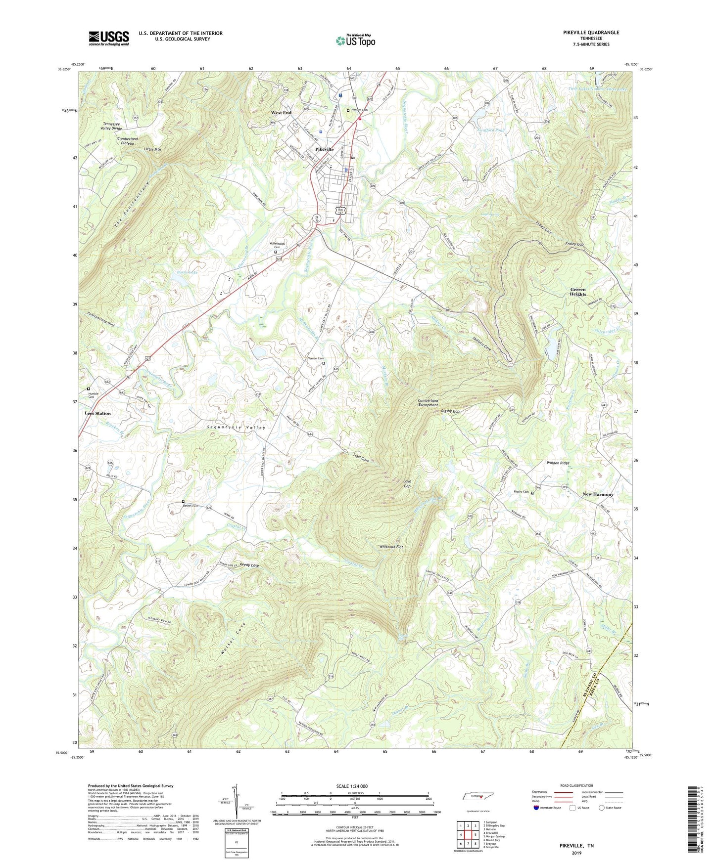
2022 topographic map quadrangle Pikeville in the state of Tennessee. Scale: 1:24000. Based on the newly updated USGS 7.5' US Topo map series, this map is in the following counties: Bledsoe, Rhea. The map contains contour data, water features, and other items you are used to seeing on USGS maps, but also has updated roads and other features. This is the next generation of topographic maps. Printed on high-quality waterproof paper with UV fade-resistant inks.
Quads adjacent to this one:
West: Brockdell
Northwest: Sampson
North: Billingsley Gap
Northeast: Melvine
East: Morgan Springs
Southeast: Graysville
South: Brayton
Southwest: Mount Airy
This map covers the same area as the classic USGS quad with code o35085e2.
Contains the following named places: Abc Dam, Abc Lake, Bethel Cemetery, Bledsoe County, Bledsoe County EMS, Bledsoe County High School, Bledsoe County Sheriff's Office, Bracken Branch, Burns Lake, Burns Lake Dam, City of Pikeville, Civilian Conservation Corps Camp Number 1466, Commissioner District 4, Crystal Creek, Crystal Falls, Dinner Branch, Erlanger Bledsoe Hospital, Flatwood Branch, Fraley Cove, Fraley Gap, Fraley Gap Mine, Gerren Heights, Greer Ford, Hembree Mill, Henson Cemetery, Humble Cemetery, Keedy Cove, Lees Station Church, Lincoln School, Loyd Cove, Loyd Gap, Loyd Spring, Markem Branch, McReynolds Branch, McReynolds Cemetery, Mount Zion Church, New Harmonoy Church of Christ, New Harmony, New Harmony Church, New Harmony School, Oak Grove Church, Penitentiary Gulf, Pikeville, Pikeville Elementary School, Pikeville Police Department, Pikeville Post Office, Pikeville Volunteer Fire Department, Rigsby Cemetery, Rigsby Gap, Sequatchie Valley Division, Skillern Cove, Skillern Creek, Sloan Branch, Spring Branch, Swafford Pond, The Penitentiary, Twin Lakes Number Three Dam, Twin Lakes Number Three Lake, Vernon Cemetery, Walden Ridge Division, Walker Cove, Wesley Chapel, West End, Whiteoak Flat, Whiteoak Flat Branch, WUAT-AM (Pikeville)


