MyTopo
Agua Azul Creek East Texas US Topo Map
Couldn't load pickup availability
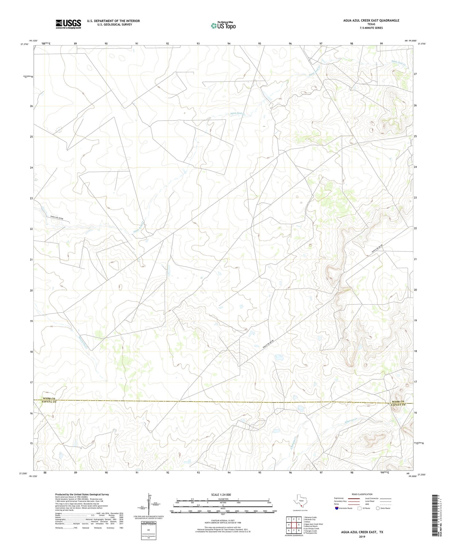
2022 topographic map quadrangle Agua Azul Creek East in the state of Texas. Scale: 1:24000. Based on the newly updated USGS 7.5' US Topo map series, this map is in the following counties: Webb, Zapata. The map contains contour data, water features, and other items you are used to seeing on USGS maps, but also has updated roads and other features. This is the next generation of topographic maps. Printed on high-quality waterproof paper with UV fade-resistant inks.
Quads adjacent to this one:
West: Agua Azul Creek West
Northwest: Retama Creek
North: Mirando City
Northeast: Oilton
East: Albercas Ranch
Southeast: Thompsonville
South: Chargos Creek
Southwest: Las Ovejas Creek
This map covers the same area as the classic USGS quad with code o27099c1.
Contains the following named places: Fred M Bruni Lake Number 1, Fred M Bruni Lake Number 1 Dam, Gene Walker Lake, Gene Walker Lake Dam, Vaquillas Lake Number 3, Vaquillas Lake Number 3 Dam, Vaquillas Ranch Lake Number 4, Vaquillas Ranch Lake Number 4 Dam