MyTopo
Agua Nueva SE Texas US Topo Map
Couldn't load pickup availability
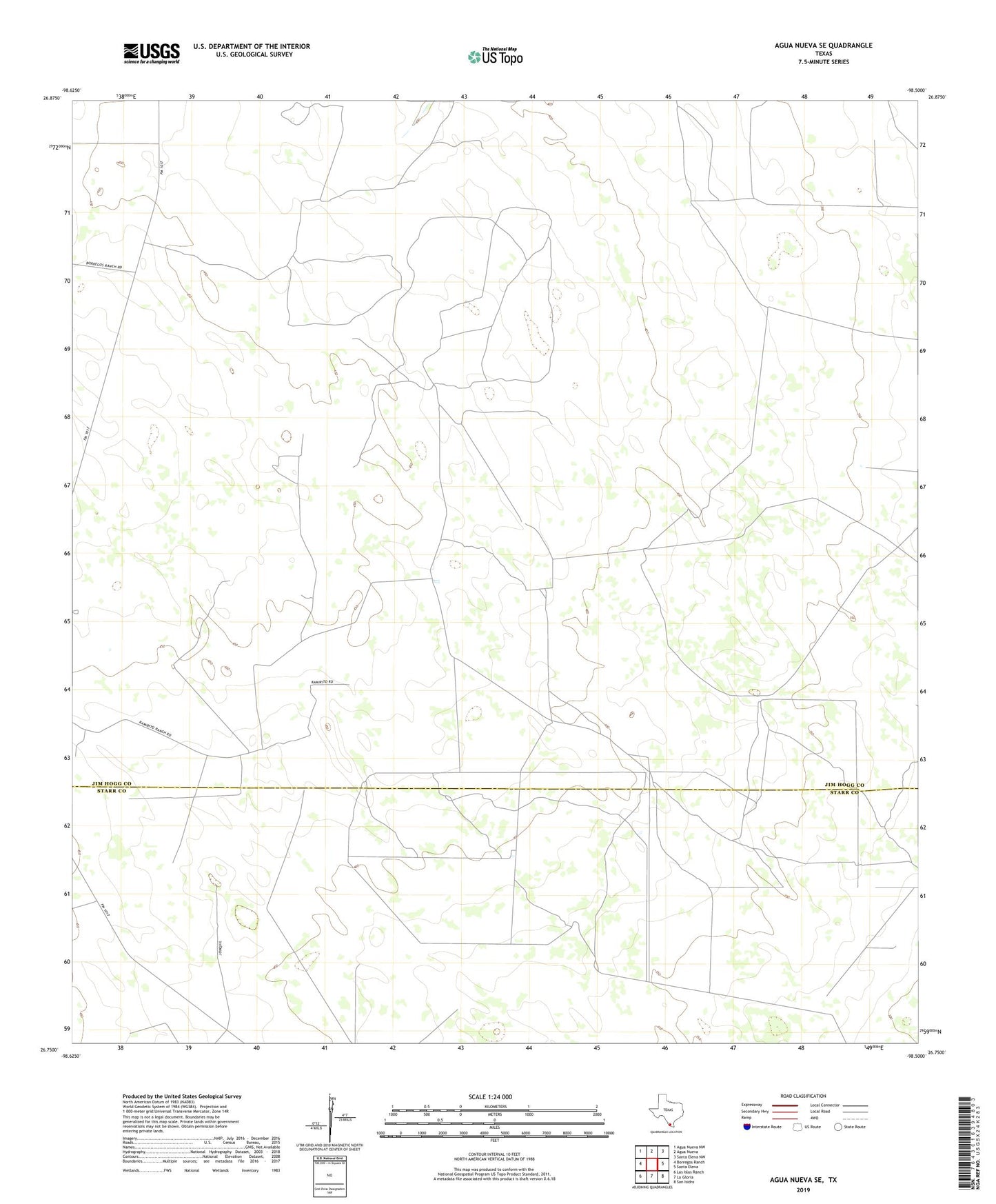
2019 topographic map quadrangle Agua Nueva SE in the state of Texas. Scale: 1:24000. Based on the newly updated USGS 7.5' US Topo map series, this map is in the following counties: Jim Hogg, Starr. The map contains contour data, water features, and other items you are used to seeing on USGS maps, but also has updated roads and other features. This is the next generation of topographic maps. Printed on high-quality waterproof paper with UV fade-resistant inks.
Quads adjacent to this one:
West: Borregos Ranch
Northwest: Agua Nueva NW
North: Agua Nueva
Northeast: Santa Elena NW
East: Santa Elena
Southeast: San Isidro
South: La Gloria
Southwest: Las Islas Ranch
Contains the following named places: Brazil Windmill, Cantera Windmill, Copa Windmill, La Libertad Ranch, Las Comitas Ranch, Lavor Windmill, Lenarderos Windmill, Loma Windmill, Mancia Ranch, Noria de Llano Windmill, Plato Windmill, Ramirito Ranch, San Manuel Windmill, Sanbenito Ranch