MyTopo
Lowake Texas US Topo Map
Couldn't load pickup availability
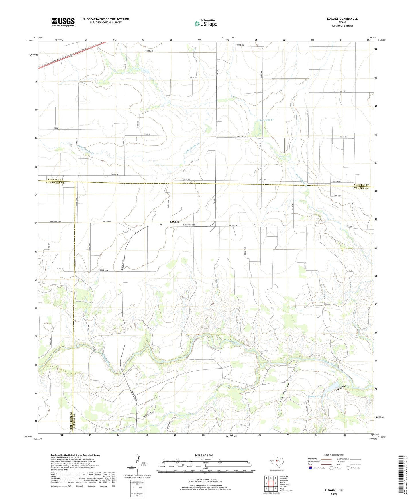
2022 topographic map quadrangle Lowake in the state of Texas. Scale: 1:24000. Based on the newly updated USGS 7.5' US Topo map series, this map is in the following counties: Concho, Runnels, Tom Green. The map contains contour data, water features, and other items you are used to seeing on USGS maps, but also has updated roads and other features. This is the next generation of topographic maps. Printed on high-quality waterproof paper with UV fade-resistant inks.
Quads adjacent to this one:
West: Miles
Northwest: Miles NW
North: Rowena
Northeast: Ballinger
East: Paint Rock
Southeast: Millersview NW
South: Eola
Southwest: Mereta
This map covers the same area as the classic USGS quad with code o31100e1.
Contains the following named places: Chandler Dam, Chandler Lake, Deep Hollow, Dry Hollow, Lipan Creek, Lowake, Lowake Post Office