MyTopo
Bluff Creek Texas US Topo Map
Couldn't load pickup availability
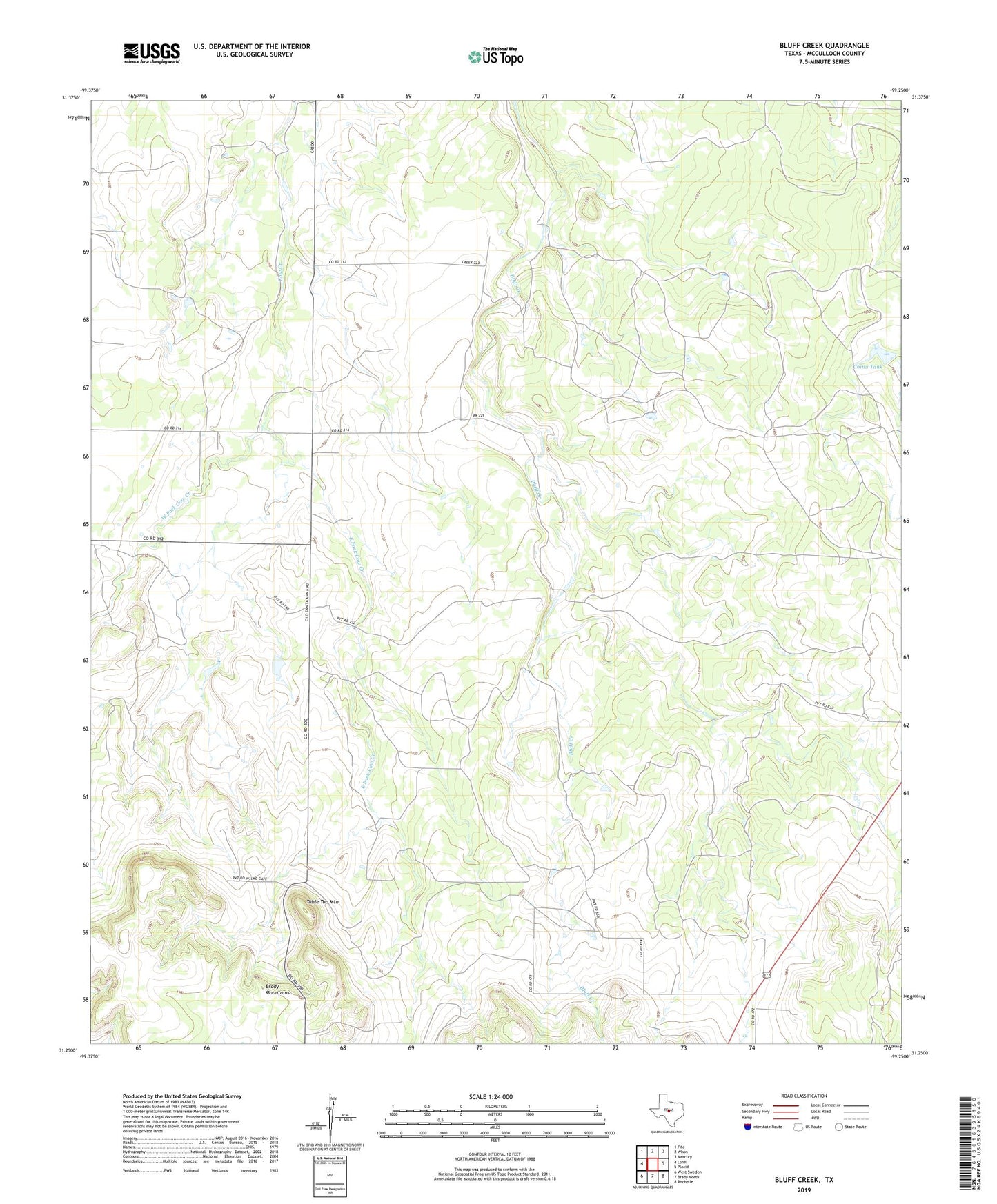
2022 topographic map quadrangle Bluff Creek in the state of Texas. Scale: 1:24000. Based on the newly updated USGS 7.5' US Topo map series, this map is in the following counties: McCulloch. The map contains contour data, water features, and other items you are used to seeing on USGS maps, but also has updated roads and other features. This is the next generation of topographic maps. Printed on high-quality waterproof paper with UV fade-resistant inks.
Quads adjacent to this one:
West: Lohn
Northwest: Fife
North: Whon
Northeast: Mercury
East: Placid
Southeast: Rochelle
South: Brady North
Southwest: West Sweden
This map covers the same area as the classic USGS quad with code o31099c3.
Contains the following named places: China Tank, East Fork Cow Creek, Table Top Mountain, West Fork Cow Creek