MyTopo
Burrito Tank Texas US Topo Map
Couldn't load pickup availability
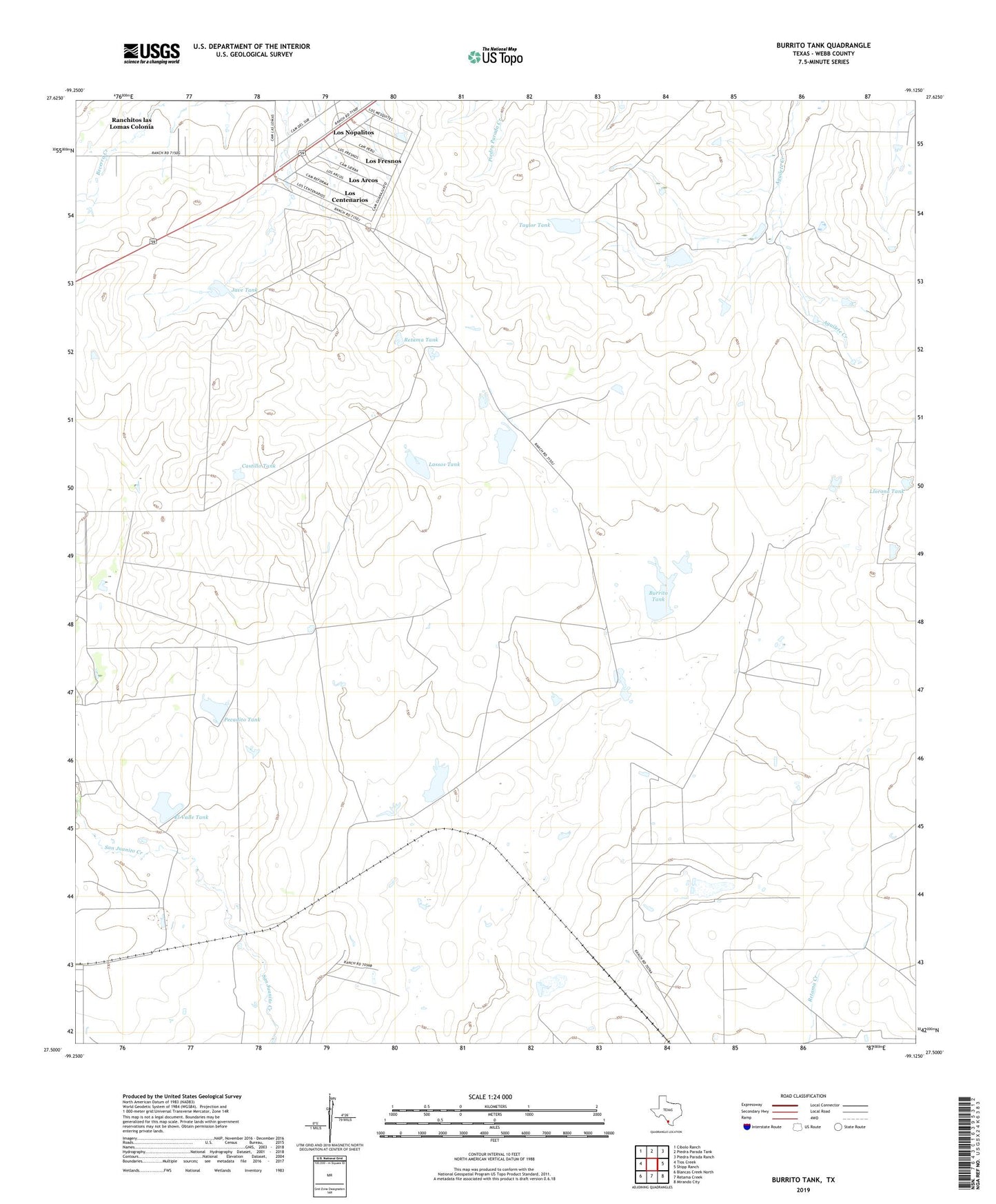
2019 topographic map quadrangle Burrito Tank in the state of Texas. Scale: 1:24000. Based on the newly updated USGS 7.5' US Topo map series, this map is in the following counties: Webb. The map contains contour data, water features, and other items you are used to seeing on USGS maps, but also has updated roads and other features. This is the next generation of topographic maps. Printed on high-quality waterproof paper with UV fade-resistant inks.
Quads adjacent to this one:
West: Tios Creek
Northwest: Cibolo Ranch
North: Piedra Parada Tank
Northeast: Piedra Parada Ranch
East: Shipp Ranch
Southeast: Mirando City
South: Retama Creek
Southwest: Blancas Creek North
Contains the following named places: Burrito Tank, Castillo Tank, El Valle Tank, Jave Tank, Lassos Tank, Llorona Tank, Los Arcos Census Designated Place, Los Centenarios Census Designated Place, Los Fresnos Census Designated Place, Los Nopalitos Census Designated Place, Pecadito Tank, Ranchitos las Lomas Colonia, Ranchitos los Arcos Colonia, Ranchitos los Centenarios Colonia, Ranchitos los Fresnos Colonia, Ranchitos los Mesquites Colonia, Ranchitos los Nopalitos Colonia, Retama Tank, Taylor Tank, Yugo Ranch