MyTopo
Tios Creek Texas US Topo Map
Couldn't load pickup availability
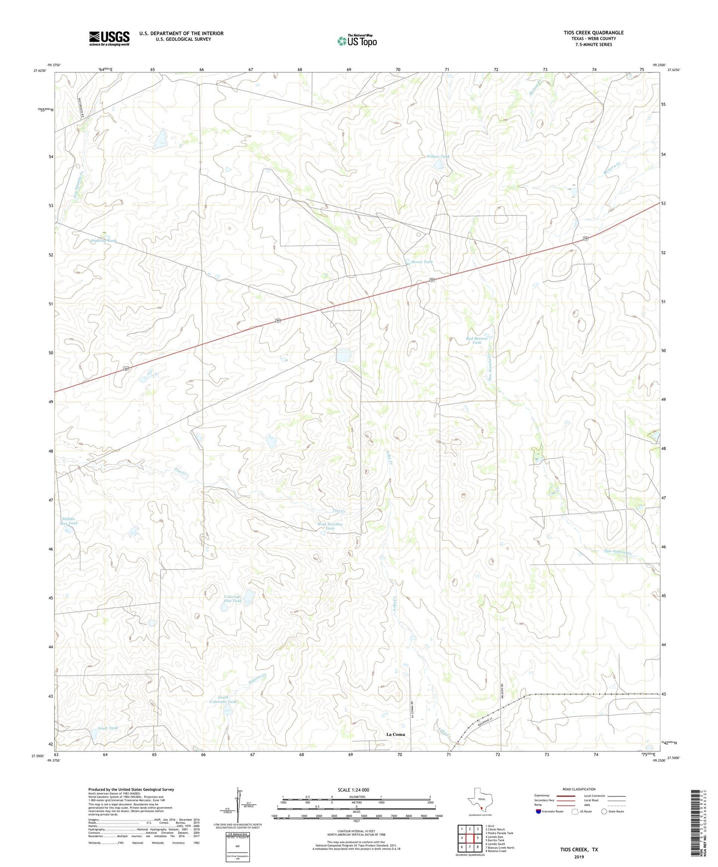
2022 topographic map quadrangle Tios Creek in the state of Texas. Scale: 1:24000. Based on the newly updated USGS 7.5' US Topo map series, this map is in the following counties: Webb. The map contains contour data, water features, and other items you are used to seeing on USGS maps, but also has updated roads and other features. This is the next generation of topographic maps. Printed on high-quality waterproof paper with UV fade-resistant inks.
Quads adjacent to this one:
West: Laredo East
Northwest: Orvil
North: Cibolo Ranch
Northeast: Piedra Parada Tank
East: Burrito Tank
Southeast: Retama Creek
South: Blancas Creek North
Southwest: Laredo South
This map covers the same area as the classic USGS quad with code o27099e3.
Contains the following named places: Bad Bottom Tank, Colorado Flat Tank, Cuates Windmill, Del Fondo Windmill, Gault Tank, Highline Tank, House Tank, Huisache Windmill, KBNL-FM (Laredo), KVOZ-AM (Laredo), La Coma Census Designated Place, La Coma Colonia, Lake Pasture Windmill, Middle Tios Tank, Mil Ojos Camp, Mil Ojos Camp Lake, Mil Ojos Camp Lake Dam, Pescadito, Rancho Corazon Nuevo, San Ygnacio Ranch, South Colorado Tank, West Novillos Tank, Willow Tank, Windmill Pit Tank, ZIP Code: 78043