MyTopo
Buzzard Roost Knob Texas US Topo Map
Couldn't load pickup availability
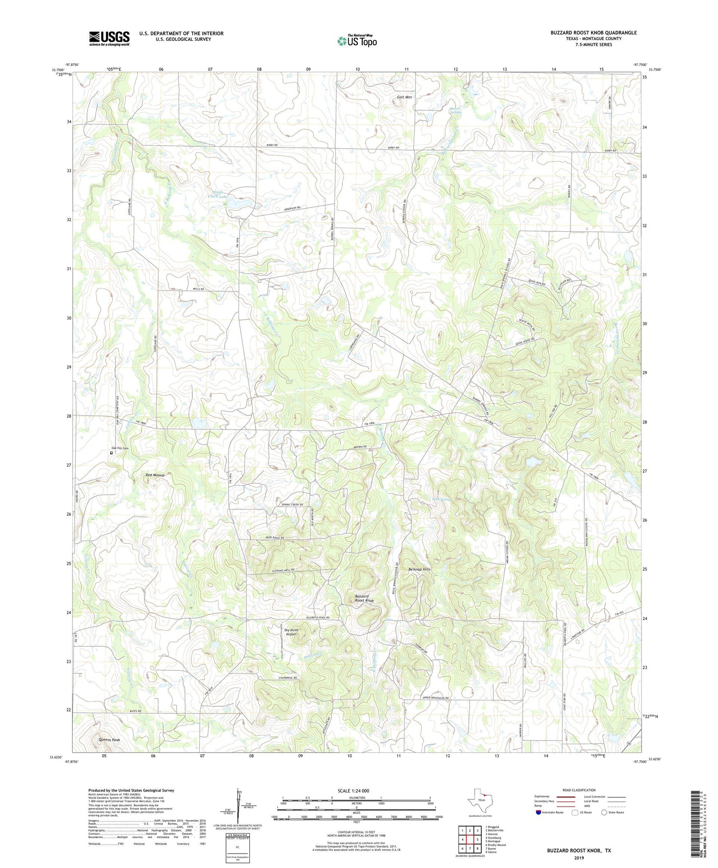
2022 topographic map quadrangle Buzzard Roost Knob in the state of Texas. Scale: 1:24000. Based on the newly updated USGS 7.5' US Topo map series, this map is in the following counties: Montague. The map contains contour data, water features, and other items you are used to seeing on USGS maps, but also has updated roads and other features. This is the next generation of topographic maps. Printed on high-quality waterproof paper with UV fade-resistant inks.
Quads adjacent to this one:
West: Stoneburg
Northwest: Ringgold
North: Belcherville
Northeast: Nocona
East: Montague
Southeast: Salona
South: Bowie
Southwest: Brushy Mound
This map covers the same area as the classic USGS quad with code o33097f7.
Contains the following named places: Barrel Springs, Belknap Hills, Buzzard Roost Knob, Colt Mountain, Hildreth Oil Field, Hinds Clark Lake, Hinds Clark Lake Dam, Kenedy Public Library, KRJT-FM (Bowie), Lone Star School, Oak Hill Cemetery, Polecat Creek, Queens Peak, Red Mound, Rock Spring, Rock Spring School, Sky Acres Airport, Soil Conservation Service Site 1f Dam, Soil Conservation Service Site 1f Reservoir, Texas Agricultural Experimental Station, Victoria Creek