MyTopo
Capers Ridge Texas US Topo Map
Couldn't load pickup availability
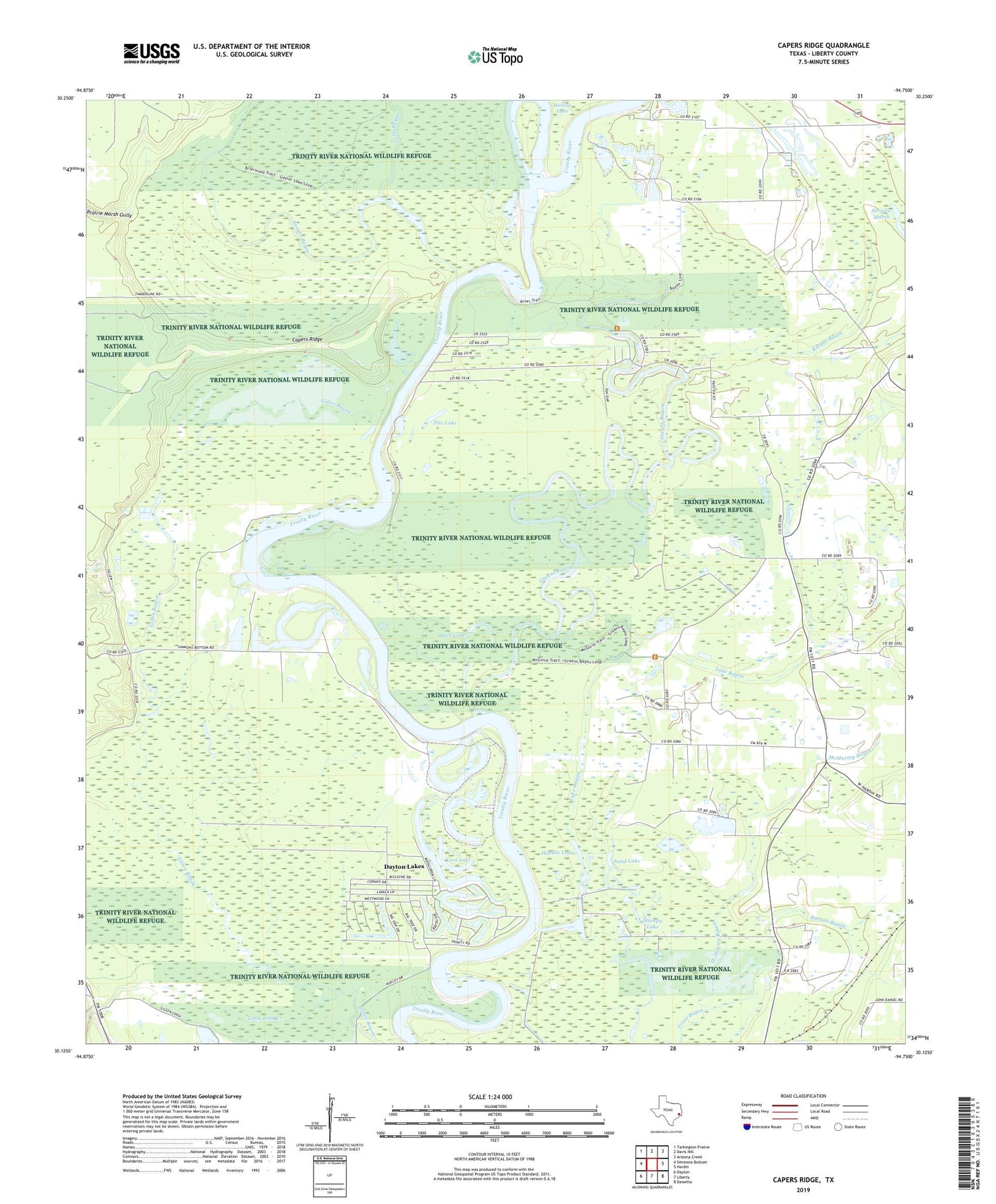
2022 topographic map quadrangle Capers Ridge in the state of Texas. Scale: 1:24000. Based on the newly updated USGS 7.5' US Topo map series, this map is in the following counties: Liberty. The map contains contour data, water features, and other items you are used to seeing on USGS maps, but also has updated roads and other features. This is the next generation of topographic maps. Printed on high-quality waterproof paper with UV fade-resistant inks.
Quads adjacent to this one:
West: Simmons Bottom
Northwest: Tarkington Prairie
North: Davis Hill
Northeast: Arizona Creek
East: Hardin
Southeast: Daisetta
South: Liberty
Southwest: Dayton
This map covers the same area as the classic USGS quad with code o30094b7.
Contains the following named places: Barrett Bayou, Beard Bayou, Capers Ridge, City of Dayton Lakes, Dayton Lake Estates, Dayton Lakes, Fitz Lake, Greens Bayou, Greenville Church, Hardin Church, Hardin Lake, Hardin Oil Field, Knight Bayou, Knights Forest Lake, Knights Forest Lake Dam, Lakeland, Lewis Lake, Liberty County, Little Bayou, Long John Creek, Lost Lake, Made Lake, Mariam, McMurtry Bayou, Morris Camp, Mud Lake, New Old River Lake, Olive Bethel Baptist Church, Otter Lake, Payne Lake, Pecan Lake, Prairie Marsh Gully, Rosewood Lake, Rosewood Lodge, Sand Lake, Striplin Marsh, Stumpy Lake, Tanner Bayou