MyTopo
Shawville Texas US Topo Map
Couldn't load pickup availability
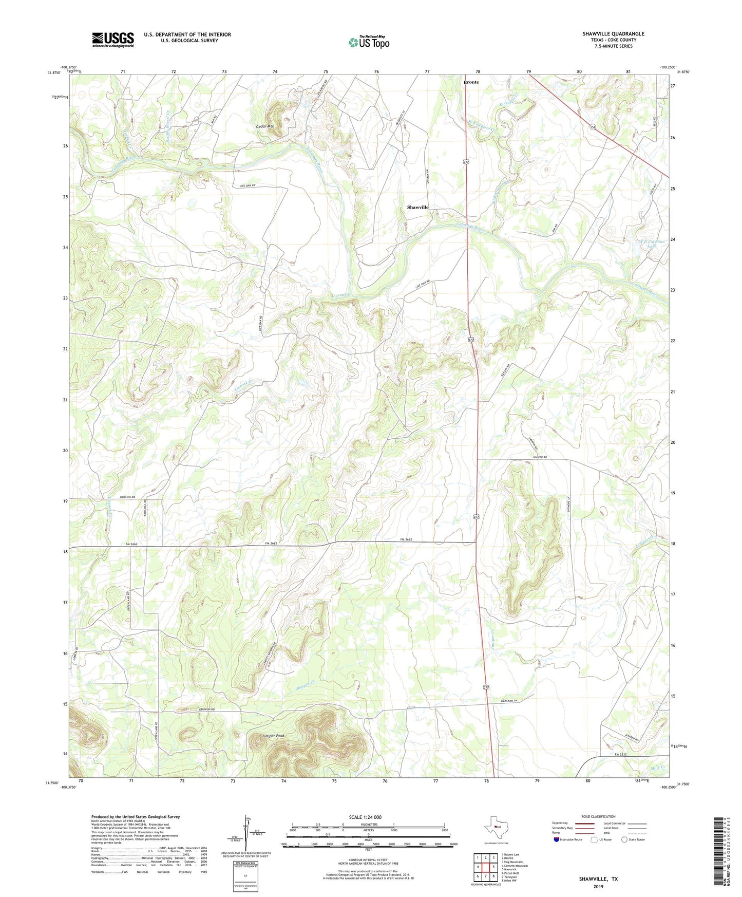
2022 topographic map quadrangle Shawville in the state of Texas. Scale: 1:24000. Based on the newly updated USGS 7.5' US Topo map series, this map is in the following counties: Coke. The map contains contour data, water features, and other items you are used to seeing on USGS maps, but also has updated roads and other features. This is the next generation of topographic maps. Printed on high-quality waterproof paper with UV fade-resistant inks.
Quads adjacent to this one:
West: Cement Mountain
Northwest: Robert Lee
North: Bronte
Northeast: Hog Mountain
East: Maverick
Southeast: Miles NW
South: Tennyson
Southwest: Pecan Mott
This map covers the same area as the classic USGS quad with code o31100g3.
Contains the following named places: Cedar Mountain, Coke County Constable's Office Precinct 2, Double Barrel Creek, Juniper Peak, Kickapoo Creek, Liveoak Creek, Shawville, Turkey Creek, W D Coleman Lake, W D Coleman Lake Dam, West Kickapoo Creek, ZIP Code: 76933