MyTopo
Clark Waterhole Texas US Topo Map
Couldn't load pickup availability
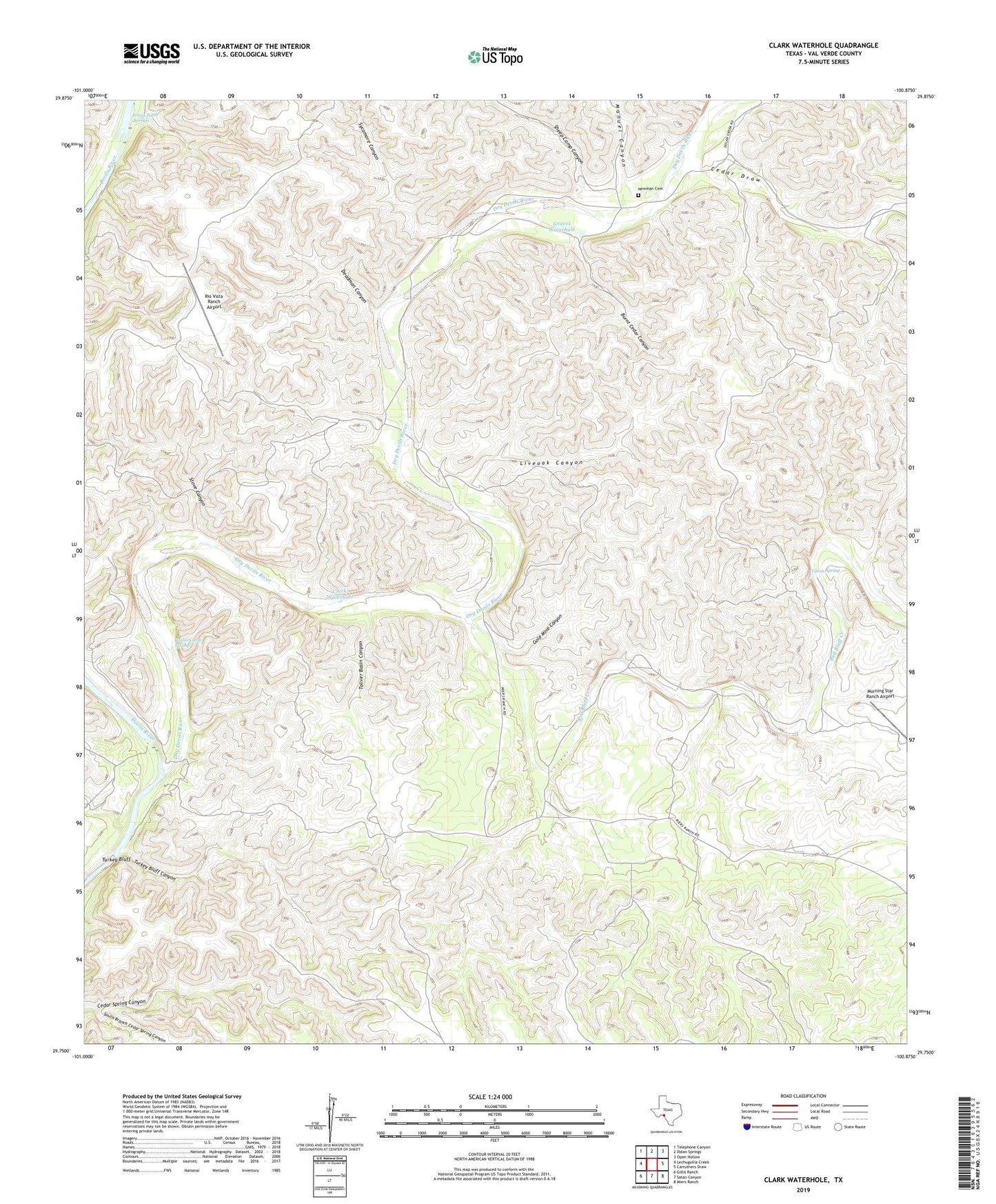
2022 topographic map quadrangle Clark Waterhole in the state of Texas. Scale: 1:24000. Based on the newly updated USGS 7.5' US Topo map series, this map is in the following counties: Val Verde. The map contains contour data, water features, and other items you are used to seeing on USGS maps, but also has updated roads and other features. This is the next generation of topographic maps. Printed on high-quality waterproof paper with UV fade-resistant inks.
Quads adjacent to this one:
West: Lechuguilla Creek
Northwest: Telephone Canyon
North: Dolan Springs
Northeast: Open Hollow
East: Carruthers Draw
Southeast: Miers Ranch
South: Satan Canyon
Southwest: Gillis Ranch
This map covers the same area as the classic USGS quad with code o29100g8.
Contains the following named places: Blocker Waterhole, Burnt Cedar Canyon, Carlos Camp Spring, Cedar Draw, Clark Waterhoel, Deadman Canyon, Dry Devils River, Glenn Spring, Gold Mine Canyon, Grass Patch Springs, Gravel Waterhole, Liveoak Canyon, Manuel Canyon, Morning Star Ranch Airport, Newman Cemetery, Red Bluff Creek, Rio Vista Ranch Airport, Sheep Camp Canyon, South Branch Cedar Spring Canyon, Stove Canyon, Sycamore Canyon, Toliver Basin Canyon, Turkey Bluff, Turkey Bluff Canyon