MyTopo
Creedmoor Texas US Topo Map
Couldn't load pickup availability
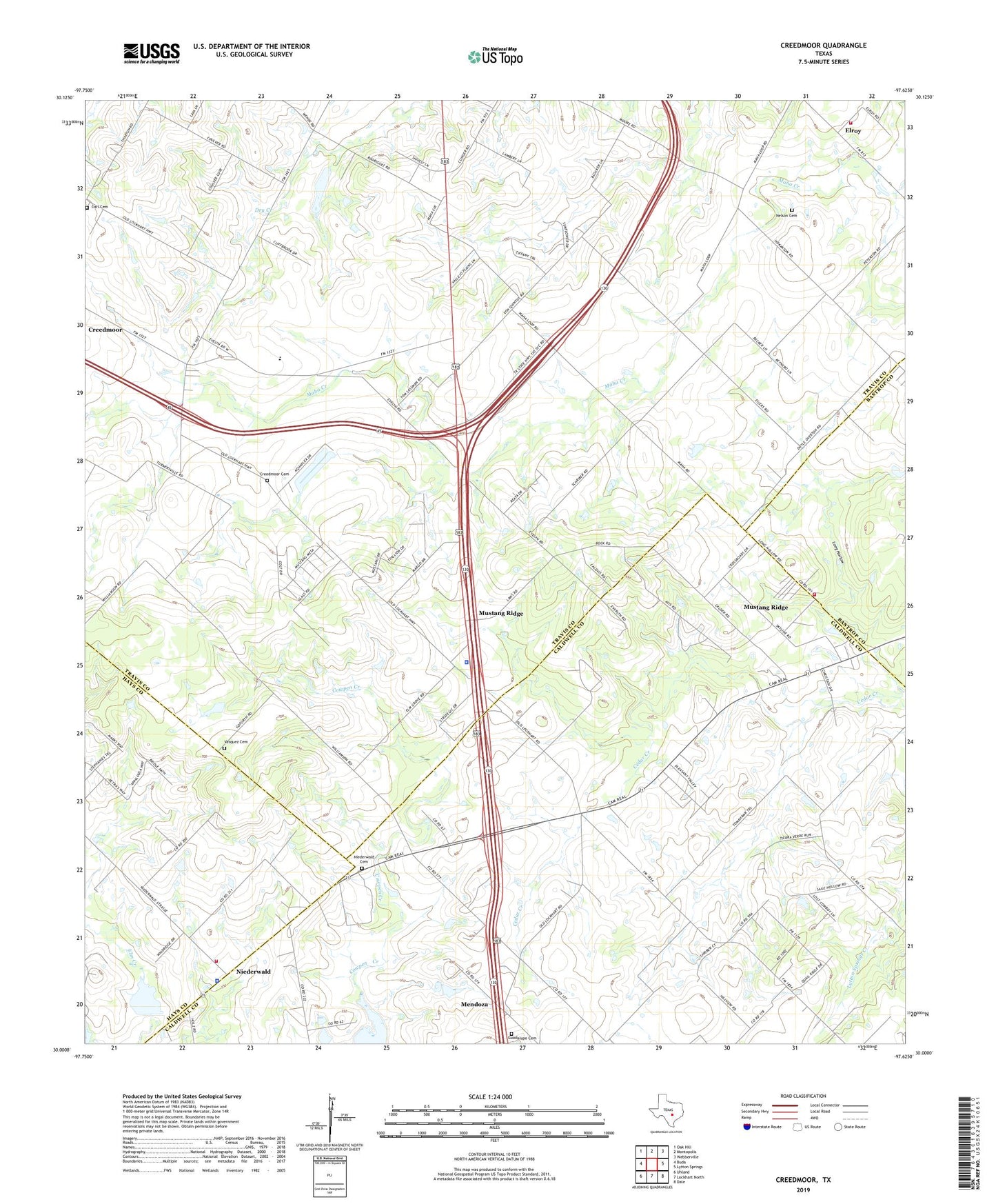
2022 topographic map quadrangle Creedmoor in the state of Texas. Scale: 1:24000. Based on the newly updated USGS 7.5' US Topo map series, this map is in the following counties: Travis, Caldwell, Hays, Bastrop. The map contains contour data, water features, and other items you are used to seeing on USGS maps, but also has updated roads and other features. This is the next generation of topographic maps. Printed on high-quality waterproof paper with UV fade-resistant inks.
Quads adjacent to this one:
West: Buda
Northwest: Oak Hill
North: Montopolis
Northeast: Webberville
East: Lytton Springs
Southeast: Dale
South: Lockhart North
Southwest: Uhland
This map covers the same area as the classic USGS quad with code o30097a6.
Contains the following named places: Carl, Carl Cemetery, Center Union Church, Chisholm Trail Fire and Rescue Station 1, Chisholm Trail Fire and Rescue Station 2, City of Creedmoor, City of Mustang Ridge, Clark Lake, Clark Lake Dam, Creedmoor, Creedmoor Cemetery, Elroy, Guadalupe Cemetery, Hays County Sheriff's Office Niederwald Substation, Jim Roach Field Airport, KGTN-AM (Creedmoor), Long Hollow, Maha, Mendoza, Mustang Ridge, Mustang Ridge Police Department, Nelson Cemetery, Niederwald, Niederwald Cemetery, Niederwald City Hall, Pleasant Valley Baptist Church, San Francisco Catholic Church, San Francisco Church, Soil Conservation Service Site 16 Dam, Soil Conservation Service Site 16 Reservoir, Soil Conservation Service Site 17 Dam, Soil Conservation Service Site 17 Reservoir, Southeast Baptist Church, Travis County Fire Rescue Emergency Services District 11 Station 1, Travis County Fire Rescue Emergency Services District 11 Station 2, Vasquez Cemetery