MyTopo
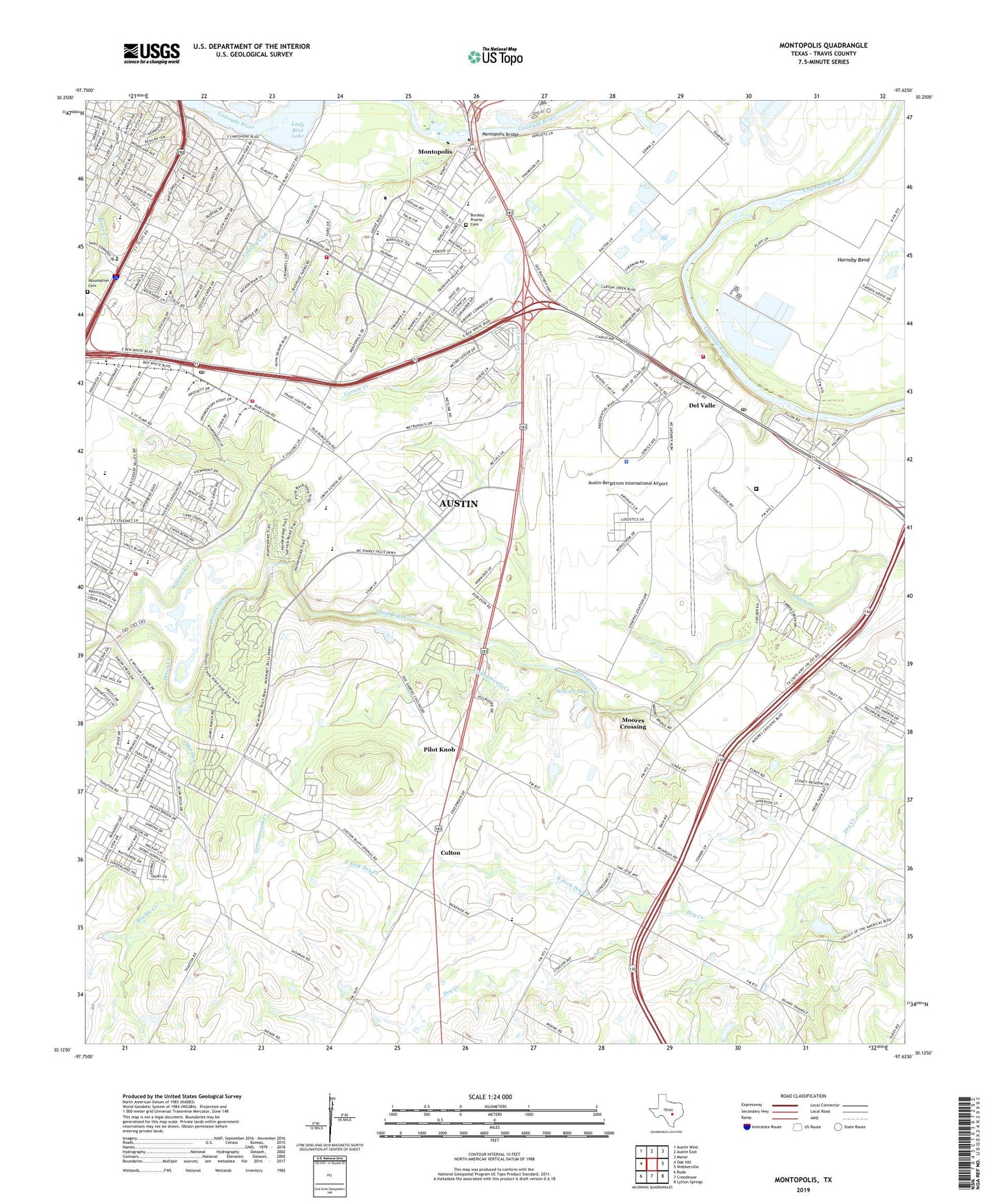
Montopolis Texas US Topo Map
Couldn't load pickup availability
2022 topographic map quadrangle Montopolis in the state of Texas. Scale: 1:24000. Based on the newly updated USGS 7.5' US Topo map series, this map is in the following counties: Travis. The map contains contour data, water features, and other items you are used to seeing on USGS maps, but also has updated roads and other features. This is the next generation of topographic maps. Printed on high-quality waterproof paper with UV fade-resistant inks.
Quads adjacent to this one:
West: Oak Hill
Northwest: Austin West
North: Austin East
Northeast: Manor
East: Webberville
Southeast: Lytton Springs
South: Creedmoor
Southwest: Buda
This map covers the same area as the classic USGS quad with code o30097b6.
Contains the following named places: Allison Elementary School, Allison School, Austin - Travis County Emergency Medical Service Medic 12, Austin / Travis County Emergency Medical Service - Medic 30, Austin / Travis County Emergency Medical Service Station 28, Austin Airport Authority Police Department, Austin Country Club, Austin Division, Austin Fire Department Station 22, Austin Fire Department Station 24, Austin Fire Department Station 35, Austin Fire Department Station 42, Austin First Church, Austin Post Office Southeast Station, Austin-Bergstrom International Airport, Baty Elementary School, Beautiful Savior Lutheran Church, Bergstrom Air Force Base, Big Stacy Park, Blunn Creek Greenbelt Trail, Boulevard Church, Burdett Prairie Cemetery, Capitol Cattle Company Lake Number 3, Capitol Cattle Company Lake Number 3 Dam, Cardinal Stadium - Del Valle, Carson Creek, Christ Lutheran Church, Civitan Park, Colton, Cottonmouth Creek, Cottonwood Baptist Church, Country Club Creek, Crossroads Baptist Church, Del Valle, Del Valle High School, Del Valle High School Baseball Field, Del Valle Junior High School, Del Valle Opportunity Center, Del Valle Post Office, Department of Assistive and Rehabilitative Services / Disability Determination Services, Dolores Catholic Church, Dolores Catholic Church Family Center, Dolores Catholic Church Franciscan Convent, Dolores School, Dove Springs United Methodist Church, Embassy Nation Church, Ernest and Anna Gustafson Farmstead, Faith Presbyterian Church, Festival Beach, Fiesta Gardens, Franklin Park, Grace United Methodist Church, Heights Assembly of God Church, Hillcrest Elementary School, Holy Temple Church, Holy Trinity Episcopal Church, Homestead Trail, Hornsby Bend, Hornsby Bend Trail, Jenkins and White Pond Dam, John P Ojeda Junior High School, KLBJ-AM (Austin), Korean Baptist Church of Austin, La Mar School, Lady Bird Lake, Lakeshore Park, Linder Elementary School, Little Stacy Park, Lord's Vineyard Christian Church, Louis and Mathilde Reuter House, Lower Falls Trail, Mable Davis Park, Marble Creek, McKinney Falls State Park, McKinney Homestead, Mendez Middle School, Montopolis, Montopolis Bridge, Montopolis Park, Moores Crossing, Moores Crossing Historic District, Neighborhood Baptist Church, New Jerusalem Baptist Church, North Fork Dry Creek, Onion Creek Baptist Church, Onion Creek Park, Onion Creek Trail, Palm Elementary School, Parker Lane United Methodist Church, Pentecostal Tabernacle, Pilot Knob, Pleasant Valley Park, Popham Elementary School, Popham School, Prince of Peace Lutheran Church, Riverside Place Shopping Center, Rock Shelter Trail, Rodriguez Elementary School, Roy G Guerrero Colorado River Park, Roy Guerrero Colorado River Park Trail, Ruiz Branch Austin City Library, Saint Peter Apostle Church, Saint Peters Church, Salem Church, Seidel Ranch Airport, Smith Elementary School, South Fork Dry Creek, Southeast Austin Branch Austin City Library, Stewart Lake, Stewart Lake Dam, Templo Sinai Church, The Church of Jesus Christ of Latter Day Saints, Thoroughbred Farms Wastewater Treatment Facility, Tokyo Electron America Emergency Response Team, Travis County Constable's Office Precinct 4, Travis County Correctional Complex, Travis County Softball Field Complex, Travis Heights Elementary School, Travis Heights School, Travis High School, Trinity Church, United Church of God in Christ, Victory Out Reach Church, Victory Outreach Church, Widen Elementary School, Williamson Creek, ZIP Codes: 78719, 78741, 78742, 78744, 78747


