MyTopo
Cuero Texas US Topo Map
Couldn't load pickup availability
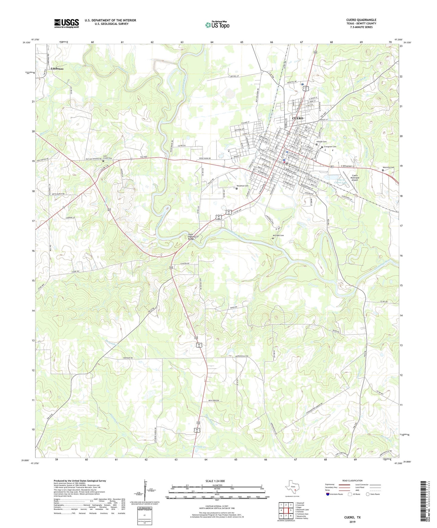
2022 topographic map quadrangle Cuero in the state of Texas. Scale: 1:24000. Based on the newly updated USGS 7.5' US Topo map series, this map is in the following counties: DeWitt. The map contains contour data, water features, and other items you are used to seeing on USGS maps, but also has updated roads and other features. This is the next generation of topographic maps. Printed on high-quality waterproof paper with UV fade-resistant inks.
Quads adjacent to this one:
West: Blackwell Lake
Northwest: Westhoff
North: Concrete
Northeast: Edgar
East: Verhelle
Southeast: Mission Valley
South: Meyersville
Southwest: Yorktown East
This map covers the same area as the classic USGS quad with code o29097a3.
Contains the following named places: Albert and Kate Leinhardt House, Alexander Park, Alfred Friar House, Antioch Church, Arthur Burns House, Bates-Sheppard House, Billow-Thompson House, Breeden-Runge Wholesale Grocery Company Building, Burns Hospital, Callaway-Gillette House, Charles Cook House, Charles J and Alvina Ott House, Charles Wittmer House, City of Cuero, City of Cuero Dam, City of Cuero Lake, City Water Works, Clement-Nagel House, Clinton School, Colston-Gohmert House, Cuero, Cuero Christian Academy, Cuero City Hall, Cuero Commercial Historic District, Cuero Community Hospital, Cuero Community Hospital Heliport, Cuero Fire Department, Cuero Gin, Cuero High School, Cuero Junior High School, Cuero Municipal Airport, Cuero Municipal Park, Cuero Police Department, Cuero Post Office, Dane Wittenbert House, Daule Special Education Cooperative School, Deer Creek, DeWitt County, DeWitt County Constable's Office Precinct 1, DeWitt County Constable's Office Precinct 2, DeWitt County Courthouse, DeWitt County Historical Museum, DeWitt County Jail, Dewitt County Sheriff's Office, E A Daule House, East Main Street Residential Historic District, Edward Mugge House, Elisha Stevens House, Emil Leonardt House, English-German School, Evergreen Cemetery, First Baptist Church, First Methodist Church, First Pentecostal Church of God, Floyd Buchel House, Frank Marie House, French Elementary School, Gohlke Creek, Grace Episcopal Church, Hillside Cemetery, House at 1002 Stockdale, House at 404 Stockdale, House at 609 East Live Oak, Hunt Elementary School, J B Chaddock House, J B Farris House, J M Reuss House, Jerusalem Baptist Mission Church, John W Burns House, John Y Bell House, Keller-Grunder House, Lempa Airport, Leske Bar Building, Lindenau, Little Zion Baptist Church, Live Oak Park, Lost Creek, Lost Creek Cemetery, Lynch-Probst House, M D Bennett House, Macedonia Baptist Church, McCrabb Cemetery, Meissner-Pleasants House, Mount Bethel Baptist Church, O F and Mary Prigden House, Old Beer and Ice Warehouse, Ratcliffe School, S I Ott House, Saint Michaels Catholic Church, Saint Michael's Catholic School, Sandies Creek, State Highway 27 Bridge, Terrell-Reuss Streets Historic District, Threemile Creek, Valentine Ley House, W F Thomson House, W H Crain House, Westhoff-Arneckville Division, Westville Cemetery, William and L F Eichholz House, William Frobese Senior House, Wofford-Finney House, Woodman Cemetery, Zion Church, ZIP Code: 77954


