MyTopo
Las Escobas Ranch Texas US Topo Map
Couldn't load pickup availability
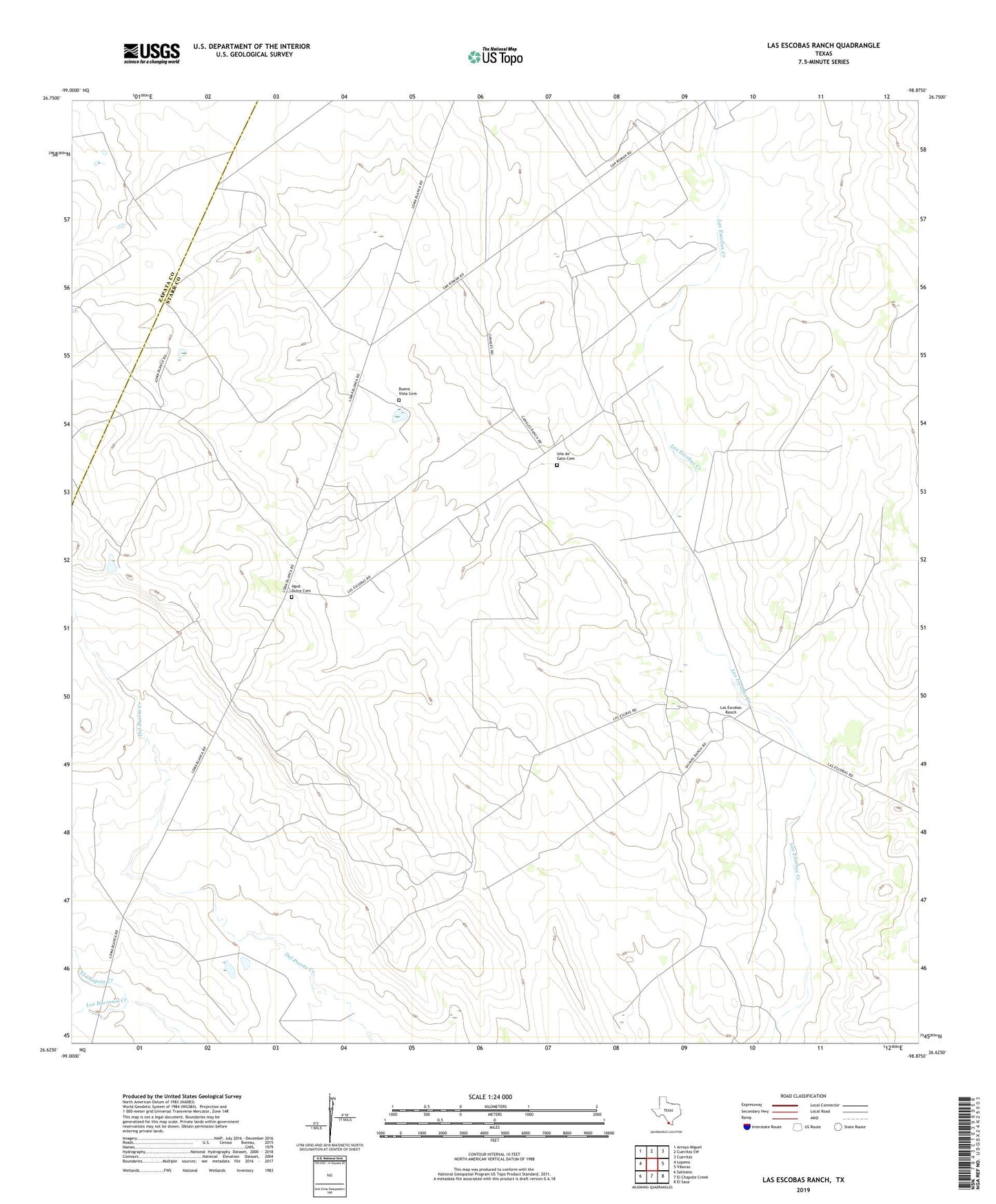
2022 topographic map quadrangle Las Escobas Ranch in the state of Texas. Scale: 1:24000. Based on the newly updated USGS 7.5' US Topo map series, this map is in the following counties: Starr, Zapata. The map contains contour data, water features, and other items you are used to seeing on USGS maps, but also has updated roads and other features. This is the next generation of topographic maps. Printed on high-quality waterproof paper with UV fade-resistant inks.
Quads adjacent to this one:
West: Lopeno
Northwest: Arroyo Miguel
North: Cuevitas SW
Northeast: Cuevitas
East: Viboras
Southeast: El Sauz
South: El Chapote Creek
Southwest: Salineno
This map covers the same area as the classic USGS quad with code o26098f8.
Contains the following named places: Agua Dulce Cemetery, Alto Windmill, Buena Vista Cemetery, La Precita Windmill, Las Escobas, Las Escobas Ranch, Paleta Windmill, Una de Gato Cemetery