MyTopo
Patterson Lake Texas US Topo Map
Couldn't load pickup availability
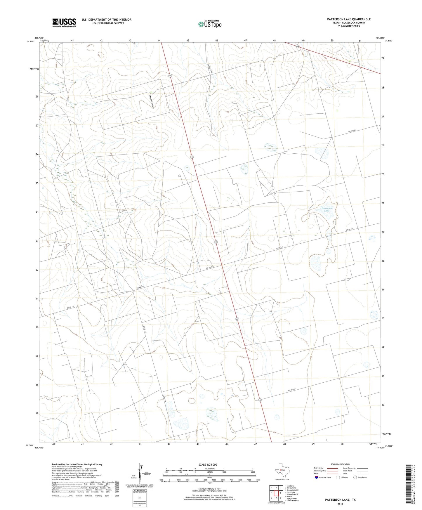
2022 topographic map quadrangle Patterson Lake in the state of Texas. Scale: 1:24000. Based on the newly updated USGS 7.5' US Topo map series, this map is in the following counties: Glasscock. The map contains contour data, water features, and other items you are used to seeing on USGS maps, but also has updated roads and other features. This is the next generation of topographic maps. Printed on high-quality waterproof paper with UV fade-resistant inks.
Quads adjacent to this one:
West: Pecks Lake
Northwest: Spraberry
North: Dewey Lake
Northeast: Dewey Lake NE
East: Dewey Lake SE
Southeast: Saint Lawrence
South: Bigby Corner
Southwest: Midkiff
This map covers the same area as the classic USGS quad with code o31101g6.
Contains the following named places: Brunson Ranch, Caboose Windmill, Cobb Windmill, Cumbie Windmill, East Cobb Windmill, Grandpa's Windmill, Green Windmill, Highway Windmill, Hilger Windmill, Jackson Hole Windmill, McDaniel Ranch, Meyers Windmill, Myrl Windmill, North Bombsite Windmill, Patterson Lake, Patterson Lake Windmill, Proctor Windmill, Ratliff Ranch, Riley Ranch, Section and a Half Windmill, South Bombsite Windmill, South Windmill, Two Section Windmill, West Cobb Windmill, Wrage Ranch