MyTopo
Gist Texas US Topo Map
Couldn't load pickup availability
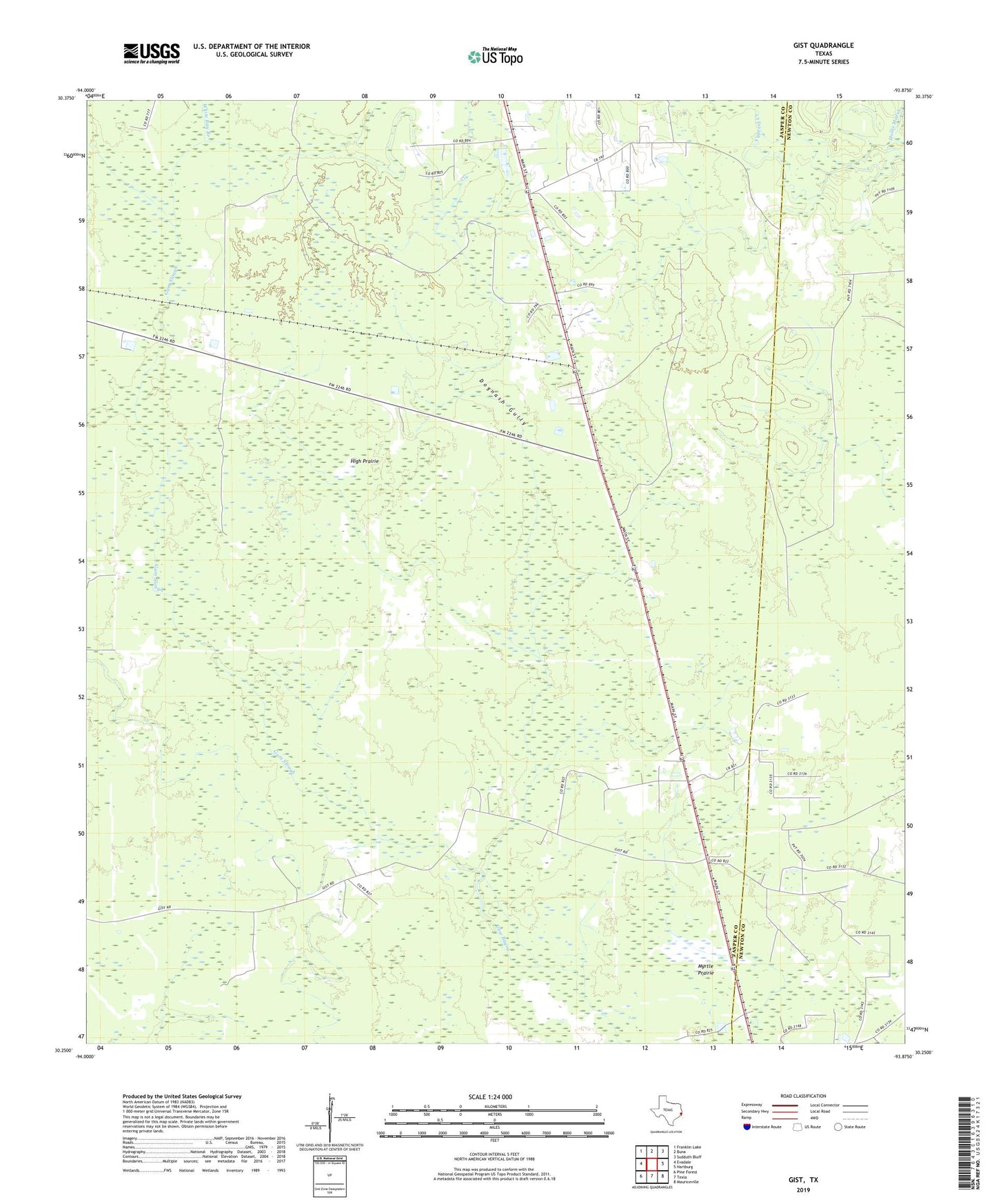
2022 topographic map quadrangle Gist in the state of Texas. Scale: 1:24000. Based on the newly updated USGS 7.5' US Topo map series, this map is in the following counties: Jasper, Newton. The map contains contour data, water features, and other items you are used to seeing on USGS maps, but also has updated roads and other features. This is the next generation of topographic maps. Printed on high-quality waterproof paper with UV fade-resistant inks.
Quads adjacent to this one:
West: Evadale
Northwest: Franklin Lake
North: Buna
Northeast: Sudduth Bluff
East: Hartburg
Southeast: Mauriceville
South: Texla
Southwest: Pine Forest
This map covers the same area as the classic USGS quad with code o30093c8.
Contains the following named places: Dognash Gully, Gist, Gum Slough, High Prairie, Myrtle Prairie, Robertson, White Bay Branch