MyTopo
Harrold Texas US Topo Map
Couldn't load pickup availability
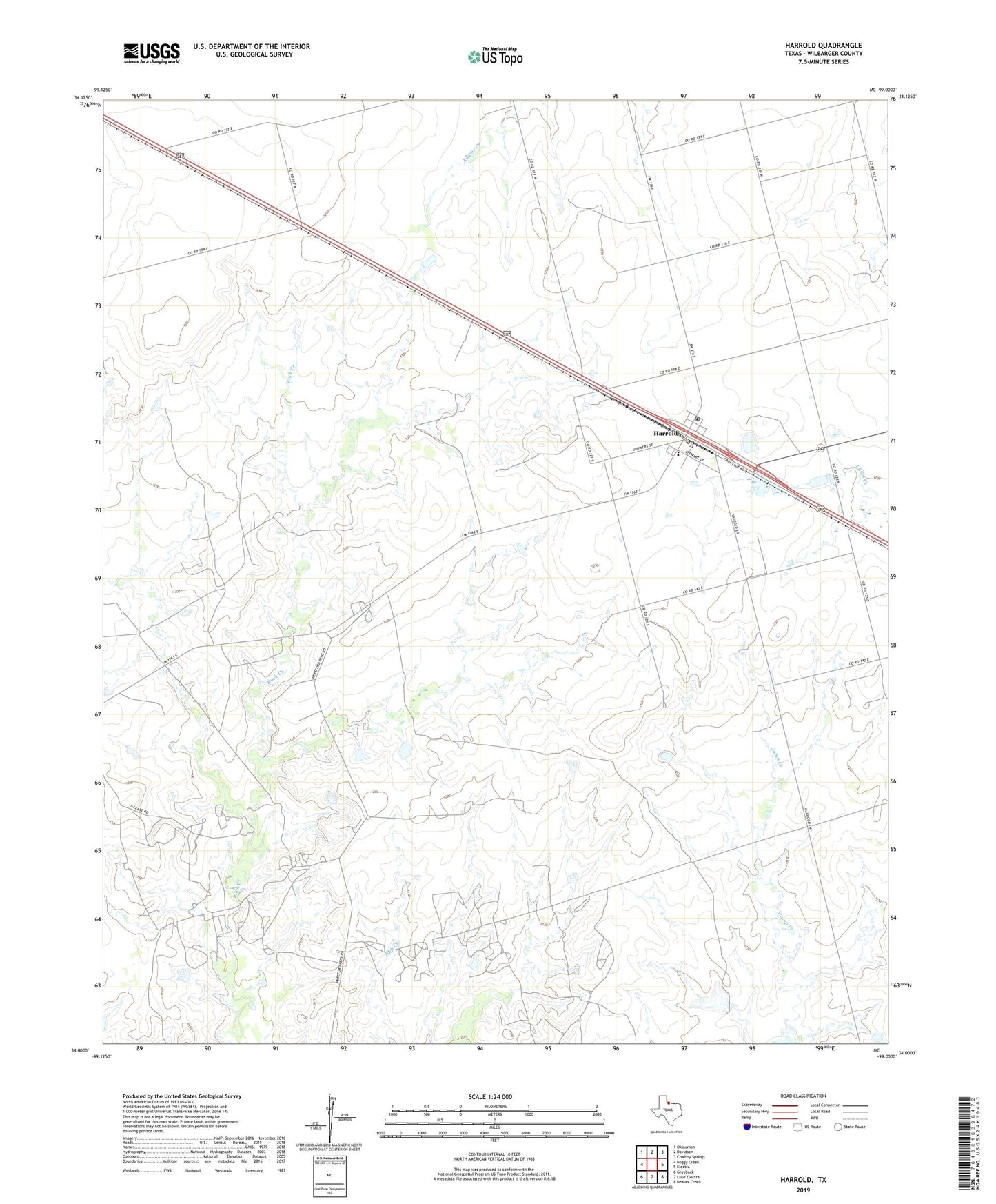
2019 topographic map quadrangle Harrold in the state of Texas. Scale: 1:24000. Based on the newly updated USGS 7.5' US Topo map series, this map is in the following counties: Wilbarger. The map contains contour data, water features, and other items you are used to seeing on USGS maps, but also has updated roads and other features. This is the next generation of topographic maps. Printed on high-quality waterproof paper with UV fade-resistant inks.
Quads adjacent to this one:
West: Boggy Creek
Northwest: Oklaunion
North: Davidson
Northeast: Cowboy Springs
East: Electra
Southeast: Beaver Creek
South: Lake Electra
Southwest: Grayback
Contains the following named places: Harrold, Harrold Census Designated Place, Harrold Post Office, Harrold School, Harrold-Oklaunion Division