MyTopo
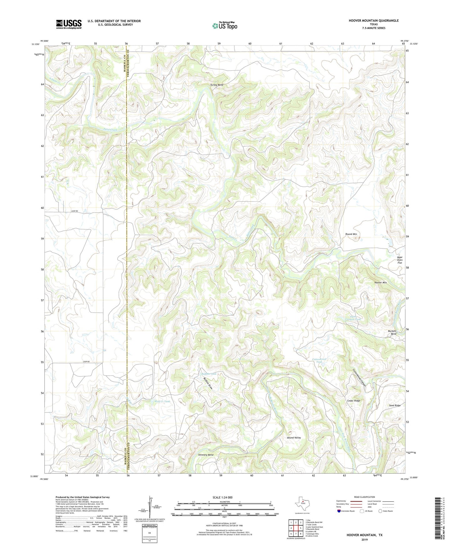
Hoover Mountain Texas US Topo Map
Couldn't load pickup availability
2022 topographic map quadrangle Hoover Mountain in the state of Texas. Scale: 1:24000. Based on the newly updated USGS 7.5' US Topo map series, this map is in the following counties: Throckmorton, Haskell. The map contains contour data, water features, and other items you are used to seeing on USGS maps, but also has updated roads and other features. This is the next generation of topographic maps. Printed on high-quality waterproof paper with UV fade-resistant inks.
Quads adjacent to this one:
West: Lake Stamford East
Northwest: Irby
North: Reynolds Bend NW
Northeast: Tonk Creek
East: Reynolds Bend
Southeast: Collins Creek
South: Antelope Hills
Southwest: Lueders NE
This map covers the same area as the classic USGS quad with code o33099a4.
Contains the following named places: Buffalo Draw, Buffalo Tank, Burkett Bend, Cedar Ridge, Coody Crossing, Cottonwood Canyon, Cottonwood Tank, Dug Ford, Hoover Mountain, M K Crossing, North Paint Creek, Paint Canyon Tank, Round Mountain, Round Valley, Sand Ridge, Shinnery Bend, Sloan Ranch, Turkey Bend, Wolf Creek Tank