MyTopo
Karnack Texas US Topo Map
Couldn't load pickup availability
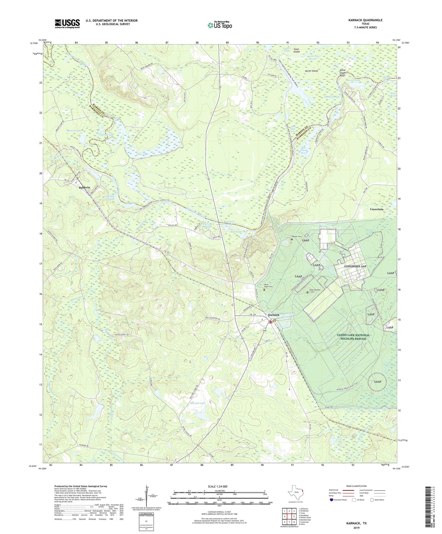
2019 topographic map quadrangle Karnack in the state of Texas. Scale: 1:24000. Based on the newly updated USGS 7.5' US Topo map series, this map is in the following counties: Harrison, Marion. The map contains contour data, water features, and other items you are used to seeing on USGS maps, but also has updated roads and other features. This is the next generation of topographic maps. Printed on high-quality waterproof paper with UV fade-resistant inks.
Quads adjacent to this one:
West: Woodlawn
Northwest: Jefferson
North: Smithland
Northeast: Trees
East: Potters Point
Southeast: Latex
South: Scottsville
Southwest: Marshall East
Contains the following named places: Annie Glade Bluff, Back Lake, Baldwin, Beckum Creek, Benefield Pond, Benton Lake, Big Four Slough, Caddo Lake, Caddo Lake National Wildlife Refuge, Caddo Lake State Park, Caddo Lake State Park Trail, Caddo Lake Wildlife Management Area, Carter Lake, Carters Chute, Carver High School, Centel Lake, City of Uncertain, Clear Lake, Clinton Ditch, Deboldin Creek, Gum Slough, Haggerty Creek, Hayner Cemetery, Hells Half Acre, Holly Creek, Hope Number 2 Cemetery, Horse Island, Karnack, Karnack Creek, Karnack Post Office, Karnack Volunteer Fire Department, Lake Cooper, Littletons Lake, Lone Pine Stretch, Mill Pond, Mitchell Lake, Mitchell Lake Dam, Mound Pond, Mount Ridge Church, Old River, Oscar Hope Cemetery, Peters Chapel, Phillips Slough, Pine Island Pond, Second Old River, Smiths Slough, Stumpy Lake, Taylor Lake, Taylor Lake Dam, Taylors Lake, Upper Clear Lake, Whistleberry Slough, ZIP Code: 75661