MyTopo
Leal Texas US Topo Map
Couldn't load pickup availability
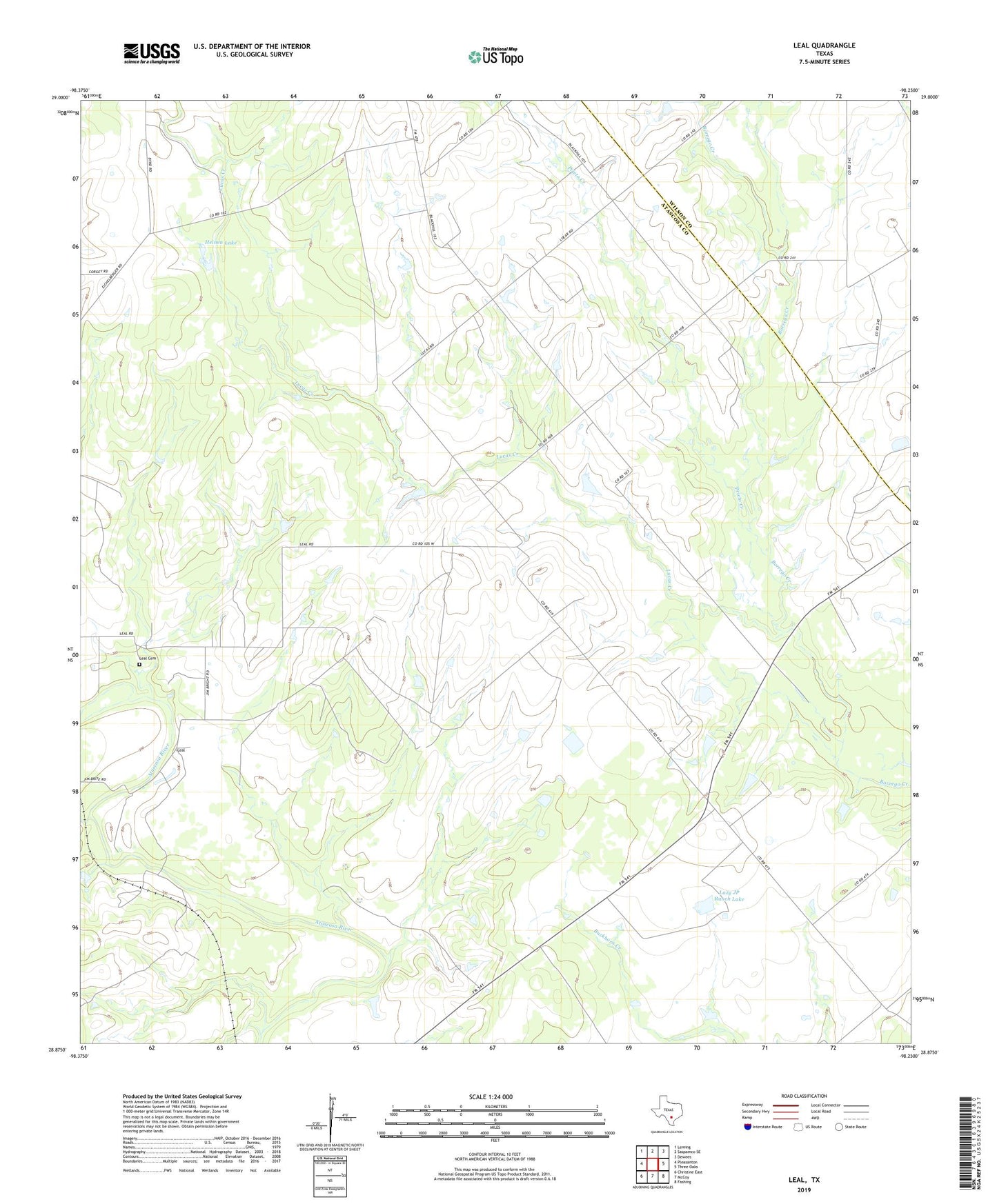
2022 topographic map quadrangle Leal in the state of Texas. Scale: 1:24000. Based on the newly updated USGS 7.5' US Topo map series, this map is in the following counties: Atascosa, Wilson. The map contains contour data, water features, and other items you are used to seeing on USGS maps, but also has updated roads and other features. This is the next generation of topographic maps. Printed on high-quality waterproof paper with UV fade-resistant inks.
Quads adjacent to this one:
West: Pleasanton
Northwest: Leming
North: Saspamco SE
Northeast: Dewees
East: Three Oaks
Southeast: Fashing
South: McCoy
Southwest: Christine East
This map covers the same area as the classic USGS quad with code o28098h3.
Contains the following named places: Black Hill, Heinen Dam, Heinen Lake, Lazy JP Ranch Dam, Lazy JP Ranch Lake, Leal, Leal Cemetery, Lucas Creek, Prieto Creek, Universal City Public Library