MyTopo
Manchester Texas US Topo Map
Couldn't load pickup availability
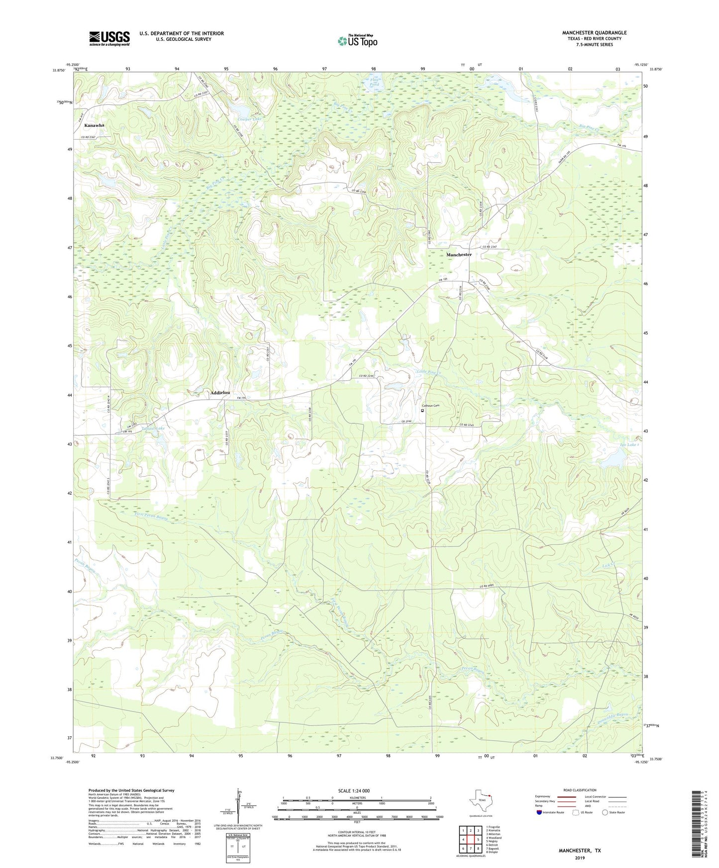
2019 topographic map quadrangle Manchester in the state of Texas. Scale: 1:24000. Based on the newly updated USGS 7.5' US Topo map series, this map is in the following counties: Red River. The map contains contour data, water features, and other items you are used to seeing on USGS maps, but also has updated roads and other features. This is the next generation of topographic maps. Printed on high-quality waterproof paper with UV fade-resistant inks.
Quads adjacent to this one:
West: Woodland
Northwest: Frogville
North: Kiomatia
Northeast: Millerton
East: Negley
Southeast: Dimple
South: Bagwell
Southwest: Detroit
Contains the following named places: Addielou, Bible Way Church, Calhoun Cemetery, Cowper Lake, Cowper Lake Dam, First Pecan Bayou, Flag Pond, Igo Lake 1, Igo Lake Dam 1, Leesville Church, Little Pine Creek, Manchester, Manchester Division, Tallant Lake, Tallant Lake Dam, Tanyard Creek, ZIP Code: 75412