MyTopo
Murphy School Texas US Topo Map
Couldn't load pickup availability
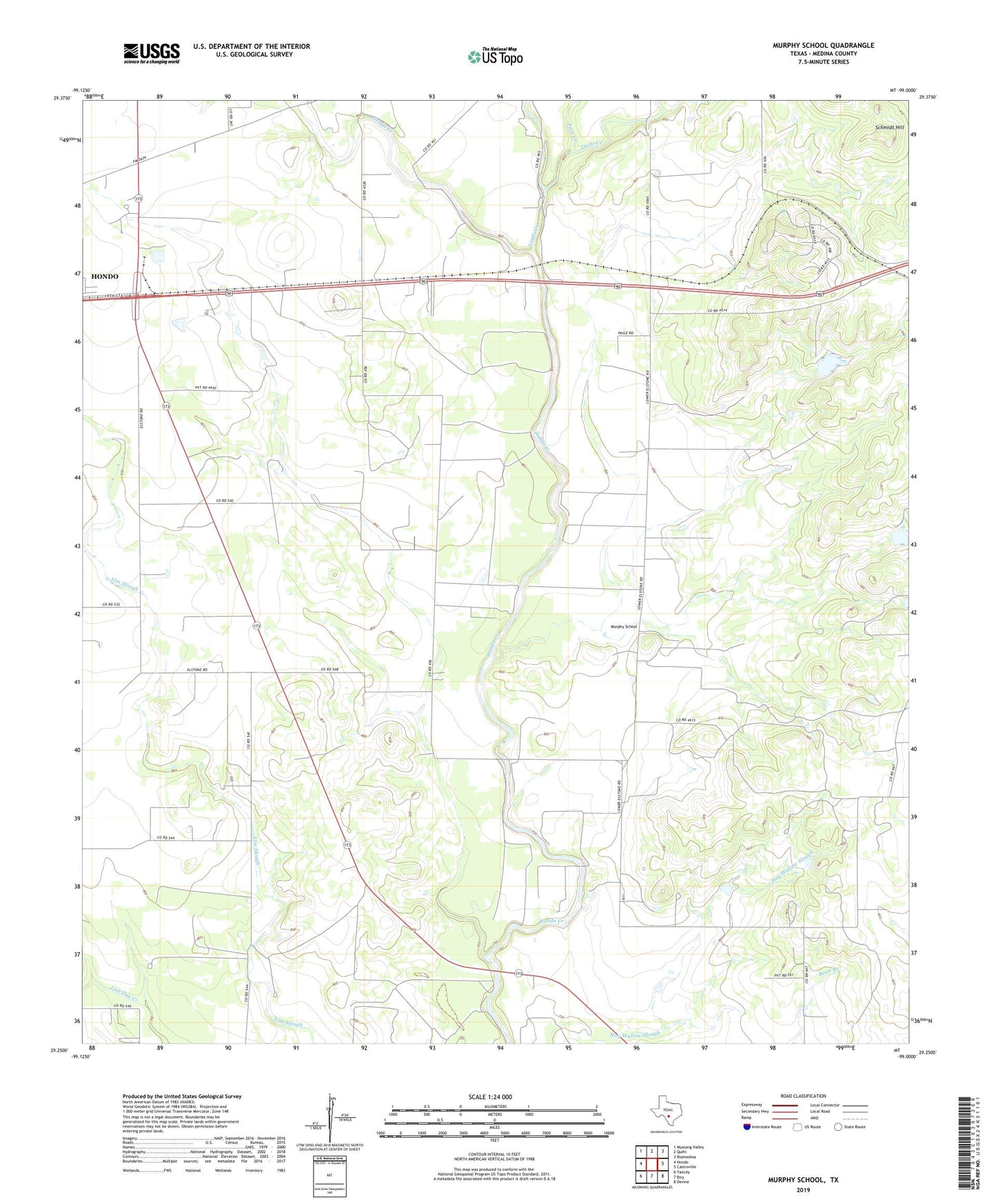
2019 topographic map quadrangle Murphy School in the state of Texas. Scale: 1:24000. Based on the newly updated USGS 7.5' US Topo map series, this map is in the following counties: Medina. The map contains contour data, water features, and other items you are used to seeing on USGS maps, but also has updated roads and other features. This is the next generation of topographic maps. Printed on high-quality waterproof paper with UV fade-resistant inks.
Quads adjacent to this one:
West: Hondo
Northwest: Mustang Valley
North: Quihi
Northeast: Riomedina
East: Castroville
Southeast: Devine
South: Biry
Southwest: Yancey
Contains the following named places: First Creek, Leinweber Lake, Leinweber Lake Dam, Little Live Oak Creek, McWilliams and Wimberley Development Corporation Dam, McWilliams and Wimberley Development Corporation Reservoir, Medina County, Murphy School, Quihi Creek, Schmidt Hill, Verde Creek