MyTopo
Riomedina Texas US Topo Map
Couldn't load pickup availability
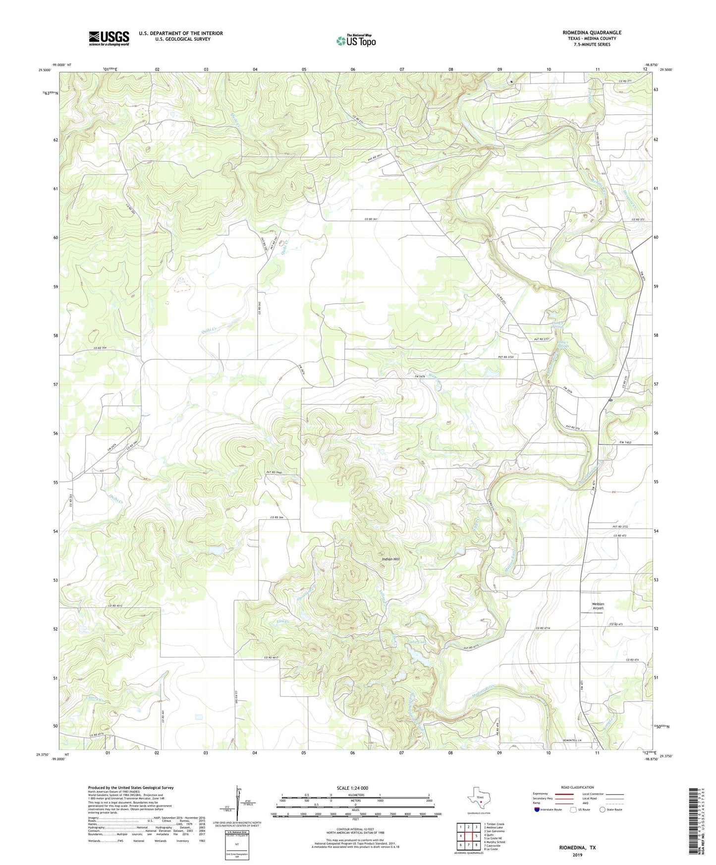
2022 topographic map quadrangle Riomedina in the state of Texas. Scale: 1:24000. Based on the newly updated USGS 7.5' US Topo map series, this map is in the following counties: Medina. The map contains contour data, water features, and other items you are used to seeing on USGS maps, but also has updated roads and other features. This is the next generation of topographic maps. Printed on high-quality waterproof paper with UV fade-resistant inks.
Quads adjacent to this one:
West: Quihi
Northwest: Timber Creek
North: Medina Lake
Northeast: San Geronimo
East: La Coste NE
Southeast: La Coste
South: Castroville
Southwest: Murphy School
This map covers the same area as the classic USGS quad with code o29098d8.
Contains the following named places: Deep Creek, Elm Creek, Gabe Lake, Gabe Lake Dam, Haby 1 Springs, Haby 2 Springs, Indian Hill, Jones Lake, Jones Lake Dam, Mesquite Creek, Opossum Creek, Rio Medina Post Office, Riomedina, San Geronimo Creek, Water Creek, Weiblen Airport, Yellow Creek