MyTopo
Paisano Lake Texas US Topo Map
Couldn't load pickup availability
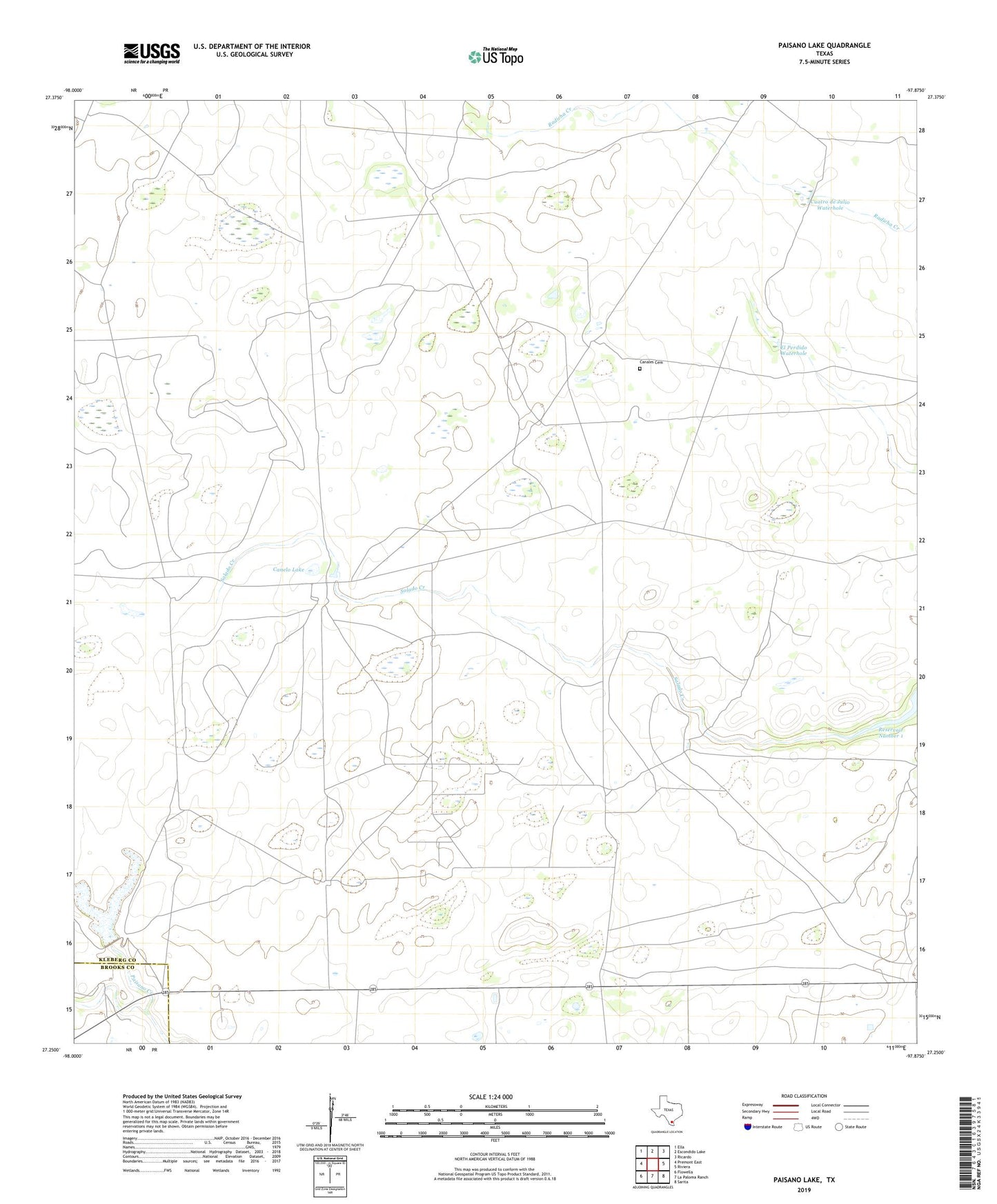
2019 topographic map quadrangle Paisano Lake in the state of Texas. Scale: 1:24000. Based on the newly updated USGS 7.5' US Topo map series, this map is in the following counties: Kleberg, Brooks. The map contains contour data, water features, and other items you are used to seeing on USGS maps, but also has updated roads and other features. This is the next generation of topographic maps. Printed on high-quality waterproof paper with UV fade-resistant inks.
Quads adjacent to this one:
West: Premont East
Northwest: Ella
North: Escondido Lake
Northeast: Ricardo
East: Riviera
Southeast: Sarita
South: La Paloma Ranch
Southwest: Flowella
Contains the following named places: Alta la Pita Windmill, Balancin Windmill, Banqueros Windmill, Canales Cemetery, Canelo Lake, Canelo Oil Field, Coyote Windmill, Cuatro de Julio Waterhole, El Perdid Windmill, El Perdido Waterhole, King Ranch Dam Number 3, La Chanza Windmill, Laguna Larga Well, Lampasosa Dam, Lampasosa Windmill, Lidios Windmill, Los Indios Windmill, Noria del Charro Windmill, Noria Richie Windmill, Paisano Lake, Reservoir Number 1, Riviera Division, Sarampion Windmill, Sauces Well