MyTopo
Palomas Ranch Texas US Topo Map
Couldn't load pickup availability
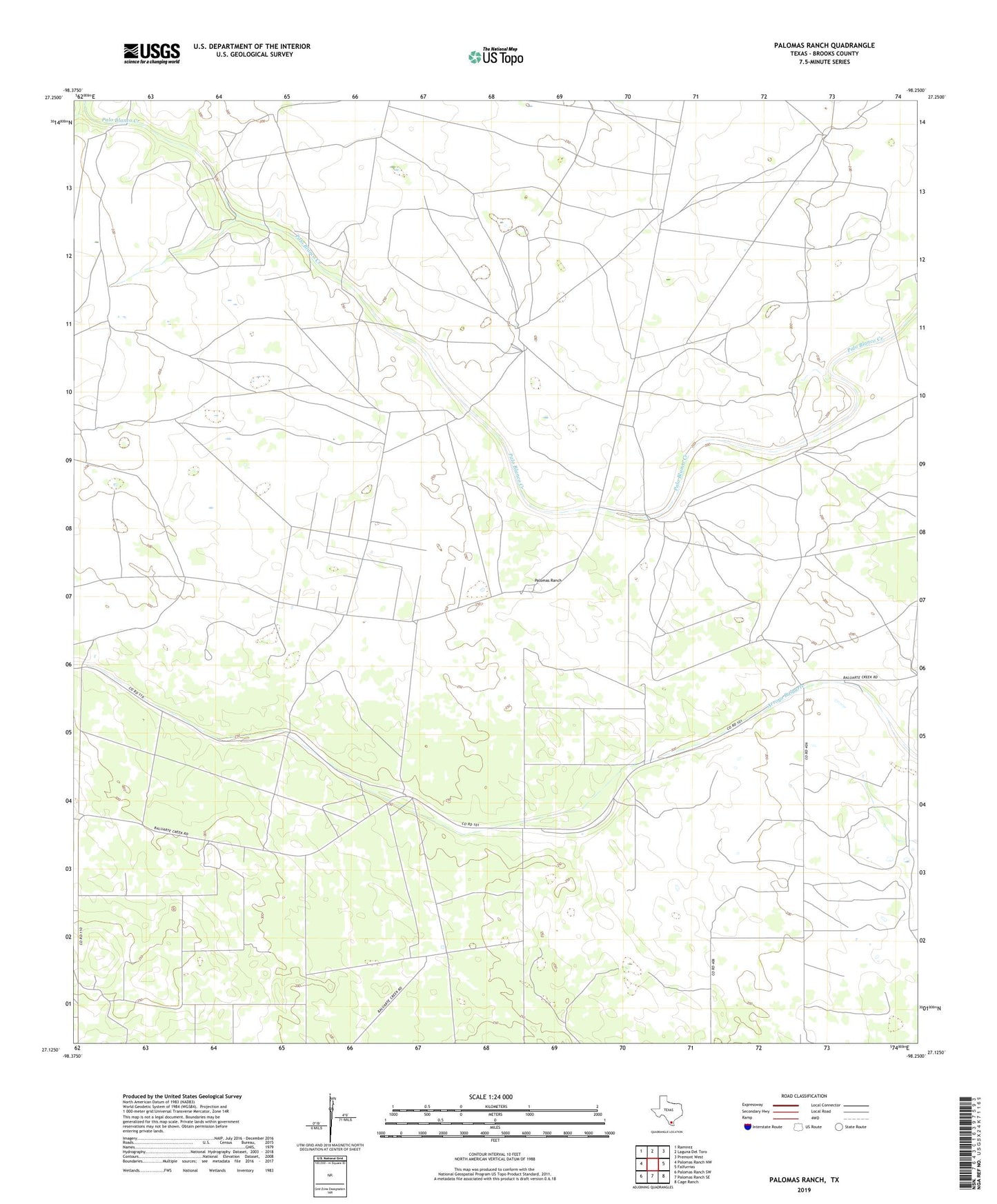
2022 topographic map quadrangle Palomas Ranch in the state of Texas. Scale: 1:24000. Based on the newly updated USGS 7.5' US Topo map series, this map is in the following counties: Brooks. The map contains contour data, water features, and other items you are used to seeing on USGS maps, but also has updated roads and other features. This is the next generation of topographic maps. Printed on high-quality waterproof paper with UV fade-resistant inks.
Quads adjacent to this one:
West: Palomas Ranch NW
Northwest: Ramirez
North: Laguna Del Toro
Northeast: Premont West
East: Falfurrias
Southeast: Cage Ranch
South: Palomas Ranch SE
Southwest: Palomas Ranch SW
This map covers the same area as the classic USGS quad with code o27098b3.
Contains the following named places: Baile Camp, Cachucha Windmill, Carrizo Windmill, Cayetano Windmill, Chaparosa Windmill, Coyote Windmill, El Ballo Windmill, El Coyote Windmill, Garcias Windmill, Gato Windmill, Guanajuato Windmill, Ingleses Windmill, Monte Alto Windmill, Palomas Ranch, Palomas Windmill, Pena Windmill, Posita Windmill, Potrios Windmill, Punta Monte Windmill, Quiotes Windmill, Rancho Nuevo Windmill, Salto Windmill, Tejon Windmill, Tres Aguajes Windmill, Tule Windmill