MyTopo
Ramirez Texas US Topo Map
Couldn't load pickup availability
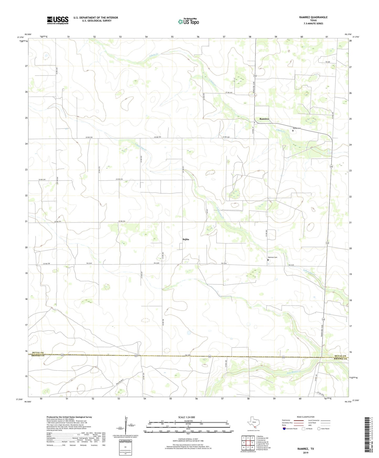
2022 topographic map quadrangle Ramirez in the state of Texas. Scale: 1:24000. Based on the newly updated USGS 7.5' US Topo map series, this map is in the following counties: Duval, Brooks. The map contains contour data, water features, and other items you are used to seeing on USGS maps, but also has updated roads and other features. This is the next generation of topographic maps. Printed on high-quality waterproof paper with UV fade-resistant inks.
Quads adjacent to this one:
West: Hebbronville SE
Northwest: Realitos
North: Concepcion NW
Northeast: Concepcion
East: Laguna Del Toro
Southeast: Palomas Ranch
South: Palomas Ranch NW
Southwest: Baluarte Ranch
This map covers the same area as the classic USGS quad with code o27098c4.
Contains the following named places: Bobbies Windmill, Buena Vista Windmill, Davids Windmill, Faustino Windmill, Flores Cemetery, La Preza Windmill, Llano Windmill, Miguas Windmill, Noria Buena Windmill, Oscars Windmill, Ramirez, Ramirez Cemetery, Ramirez Cemetery DV - C034, Ramirez Unnamed Cemetery, Ramos Cemetery, Sejita, Sejita Oil Field