MyTopo
Palomas Ranch SE Texas US Topo Map
Couldn't load pickup availability
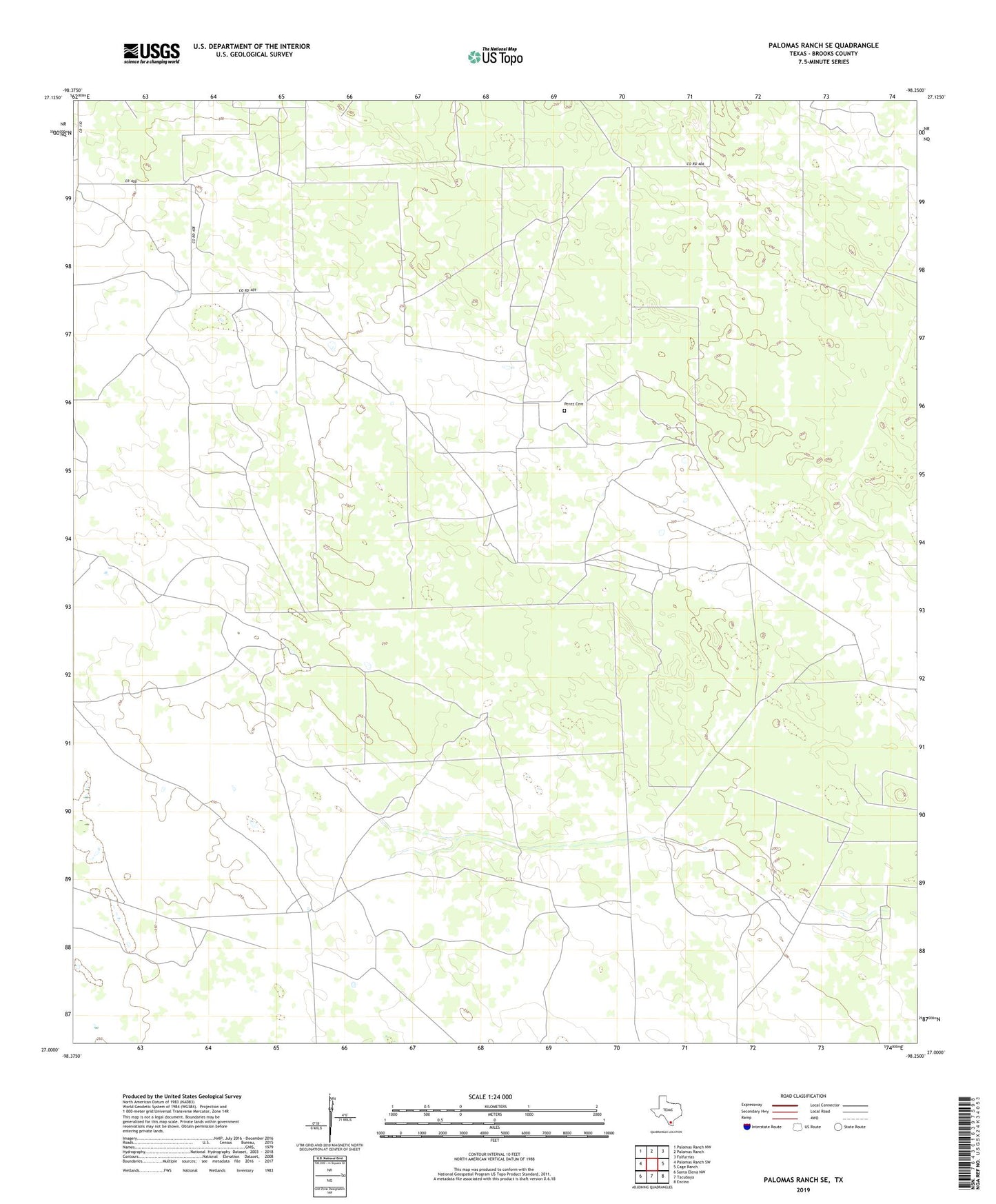
2022 topographic map quadrangle Palomas Ranch SE in the state of Texas. Scale: 1:24000. Based on the newly updated USGS 7.5' US Topo map series, this map is in the following counties: Brooks. The map contains contour data, water features, and other items you are used to seeing on USGS maps, but also has updated roads and other features. This is the next generation of topographic maps. Printed on high-quality waterproof paper with UV fade-resistant inks.
Quads adjacent to this one:
West: Palomas Ranch SW
Northwest: Palomas Ranch NW
North: Palomas Ranch
Northeast: Falfurrias
East: Cage Ranch
Southeast: Encino
South: Tacubaya
Southwest: Santa Elena NW
This map covers the same area as the classic USGS quad with code o27098a3.
Contains the following named places: Chivo Windmill, La Colcha Windmill, Las Burras Windmill, Lindero Windmill, Llescosa Well, Madrigueras Windmill, Perdido Windmill, Perez Cemetery, San Cristobal Windmill, Tres Puertas Well