MyTopo
Parrilla Creek SE Texas US Topo Map
Couldn't load pickup availability
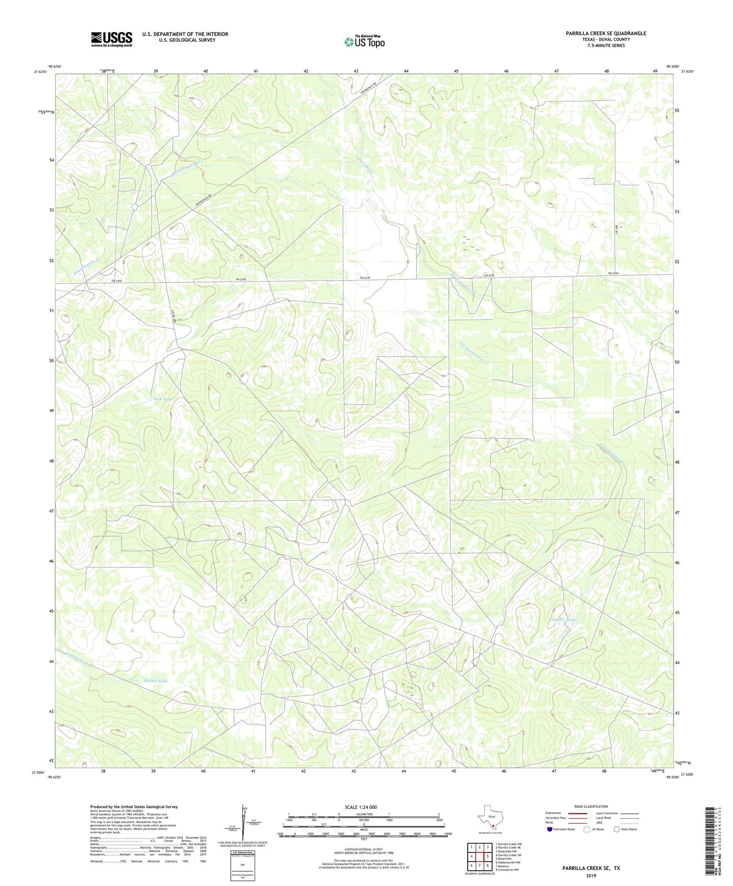
2022 topographic map quadrangle Parrilla Creek SE in the state of Texas. Scale: 1:24000. Based on the newly updated USGS 7.5' US Topo map series, this map is in the following counties: Duval. The map contains contour data, water features, and other items you are used to seeing on USGS maps, but also has updated roads and other features. This is the next generation of topographic maps. Printed on high-quality waterproof paper with UV fade-resistant inks.
Quads adjacent to this one:
West: Parrilla Creek SW
Northwest: Parrilla Creek NW
North: Parrilla Creek NE
Northeast: Benavides NW
East: Benavides
Southeast: Concepcion NW
South: Realitos
Southwest: Hebbronville NW
This map covers the same area as the classic USGS quad with code o27098e5.
Contains the following named places: Cuatas Windmill, Cuerva Pen Windmill, Dick Tank, Driscoll Camp, Guadalupe Windmill, Guajillo Tank, Medron Windmill, Novillo Tank, Parrilla Creek, Pump Jack Windmill, Trescillas Well