MyTopo
Hebbronville NW Texas US Topo Map
Couldn't load pickup availability
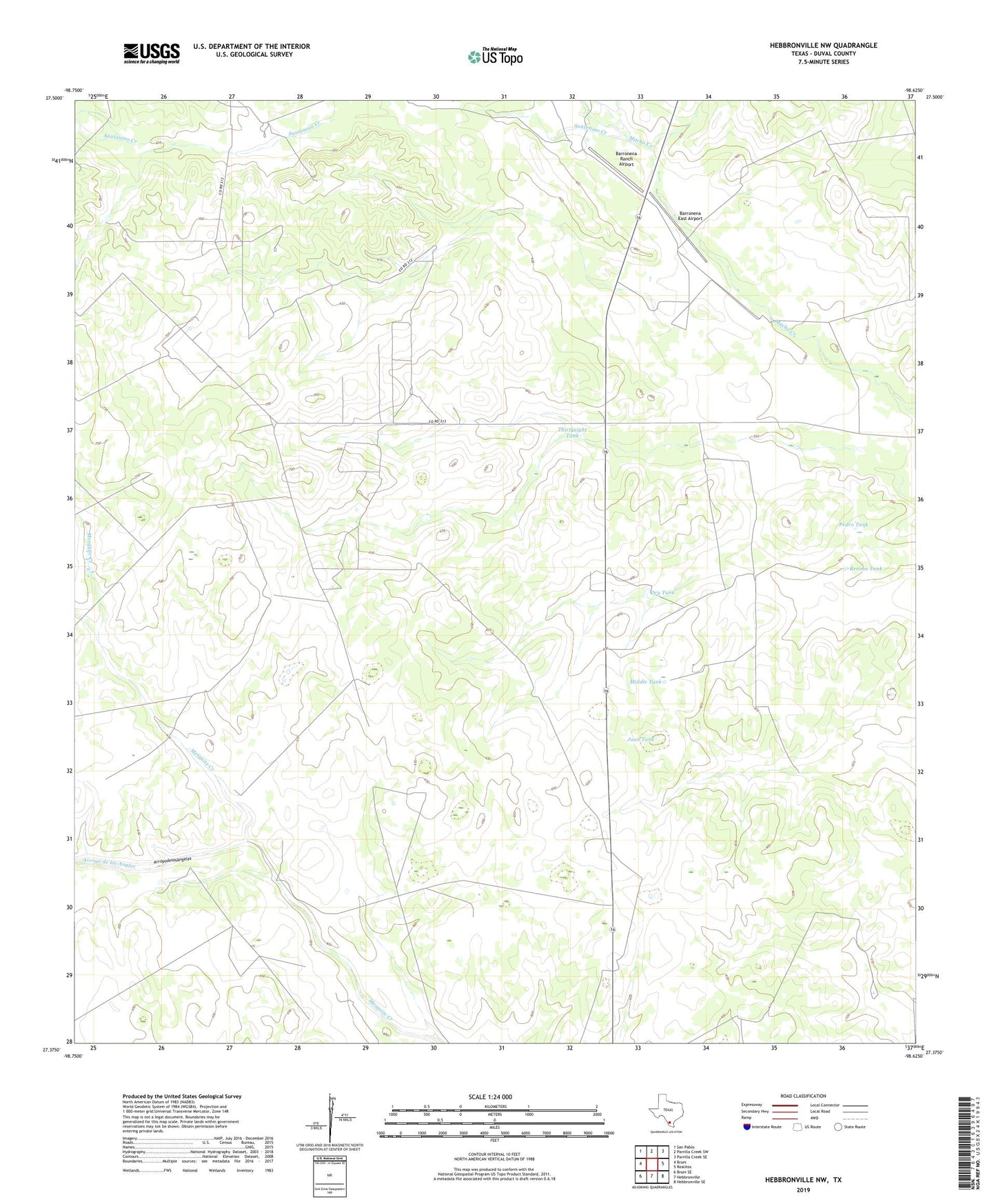
2022 topographic map quadrangle Hebbronville NW in the state of Texas. Scale: 1:24000. Based on the newly updated USGS 7.5' US Topo map series, this map is in the following counties: Duval. The map contains contour data, water features, and other items you are used to seeing on USGS maps, but also has updated roads and other features. This is the next generation of topographic maps. Printed on high-quality waterproof paper with UV fade-resistant inks.
Quads adjacent to this one:
West: Bruni
Northwest: San Pablo
North: Parrilla Creek SW
Northeast: Parrilla Creek SE
East: Realitos
Southeast: Hebbronville SE
South: Hebbronville
Southwest: Bruni SE
This map covers the same area as the classic USGS quad with code o27098d6.
Contains the following named places: Agua Negra Windmill, Arroyo de los Angeles, Arroyo de los Angles, Barronena East Airport, Barronena Ranch, Barronena Ranch Airport, Cardenas Windmill, Dry Tank, El Norte Windmill, Estella Windmill, Juan Tank, Lloron Windmill, Lone Star Windmill, Middle Tank, Middle Windmill, Mochos Windmill, Pedro Tank, Piedra Windmill, Retima Tank, Rogers Windmill, Santonino Creek, Sufrosa Windmill, Thirtyeight Tank, Timberlake Windmill, Trevino Ranch, Turkey Windmill