MyTopo
Realitos Texas US Topo Map
Couldn't load pickup availability
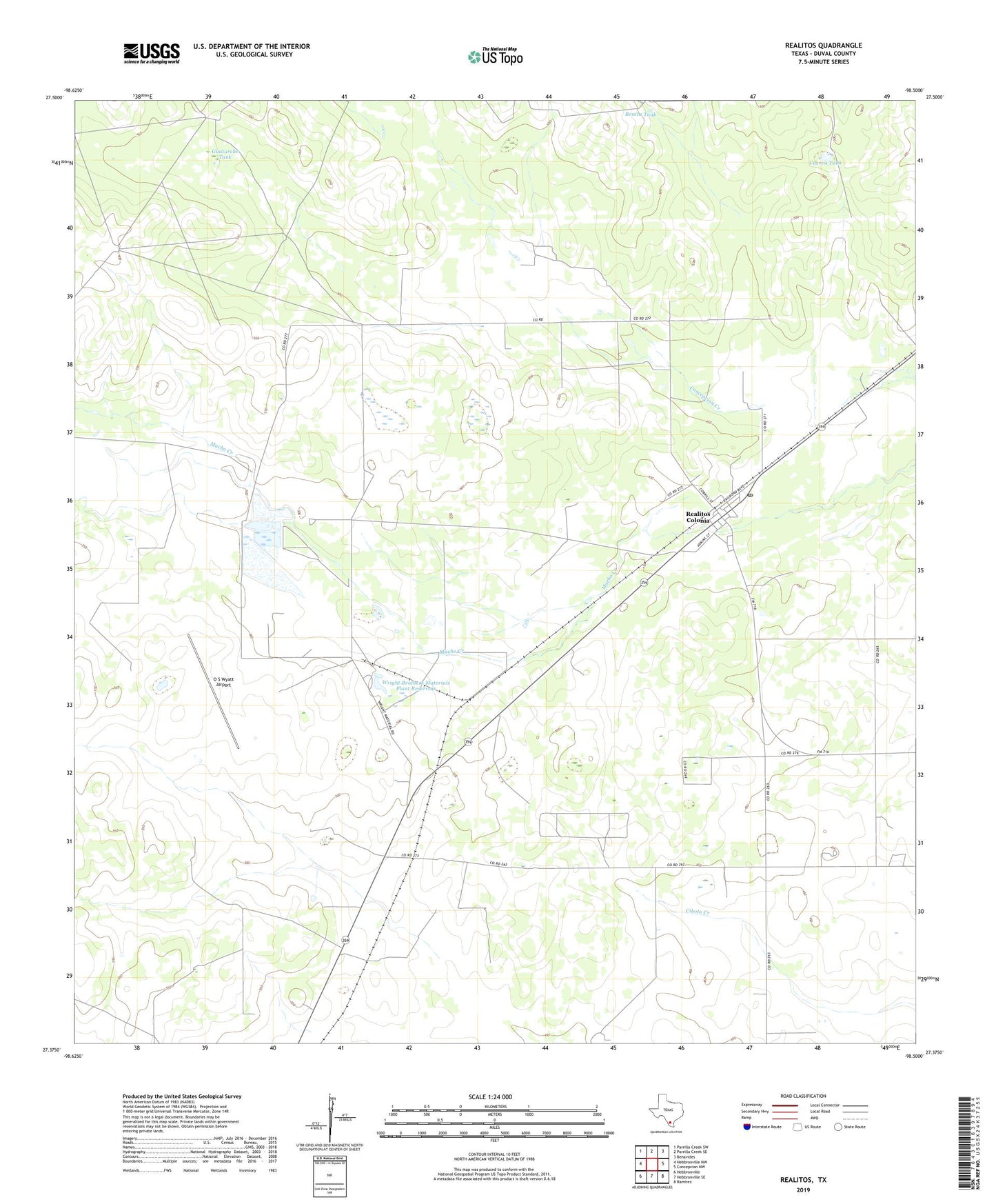
2022 topographic map quadrangle Realitos in the state of Texas. Scale: 1:24000. Based on the newly updated USGS 7.5' US Topo map series, this map is in the following counties: Duval. The map contains contour data, water features, and other items you are used to seeing on USGS maps, but also has updated roads and other features. This is the next generation of topographic maps. Printed on high-quality waterproof paper with UV fade-resistant inks.
Quads adjacent to this one:
West: Hebbronville NW
Northwest: Parrilla Creek SW
North: Parrilla Creek SE
Northeast: Benavides
East: Concepcion NW
Southeast: Ramirez
South: Hebbronville SE
Southwest: Hebbronville
This map covers the same area as the classic USGS quad with code o27098d5.
Contains the following named places: Bonita Tank, Cuerva Tank, Guaturche Tank, Guaturche Windmill, Haner Windmill, Longora Windmill, O S Wyatt Airport, Palo Blanco Windmill, Pila Blance Windmill, Rancho Nuevo Windmill, Realitos, Realitos Cemetery, Realitos Census Designated Place, Realitos Colonia, Realitos Post Office, Realitos-Concepcion Division, Wright Brothers Materials Plant Dam, Wright Brothers Materials Plant Reservoir, ZIP Code: 78376