MyTopo
Parrilla Creek SW Texas US Topo Map
Couldn't load pickup availability
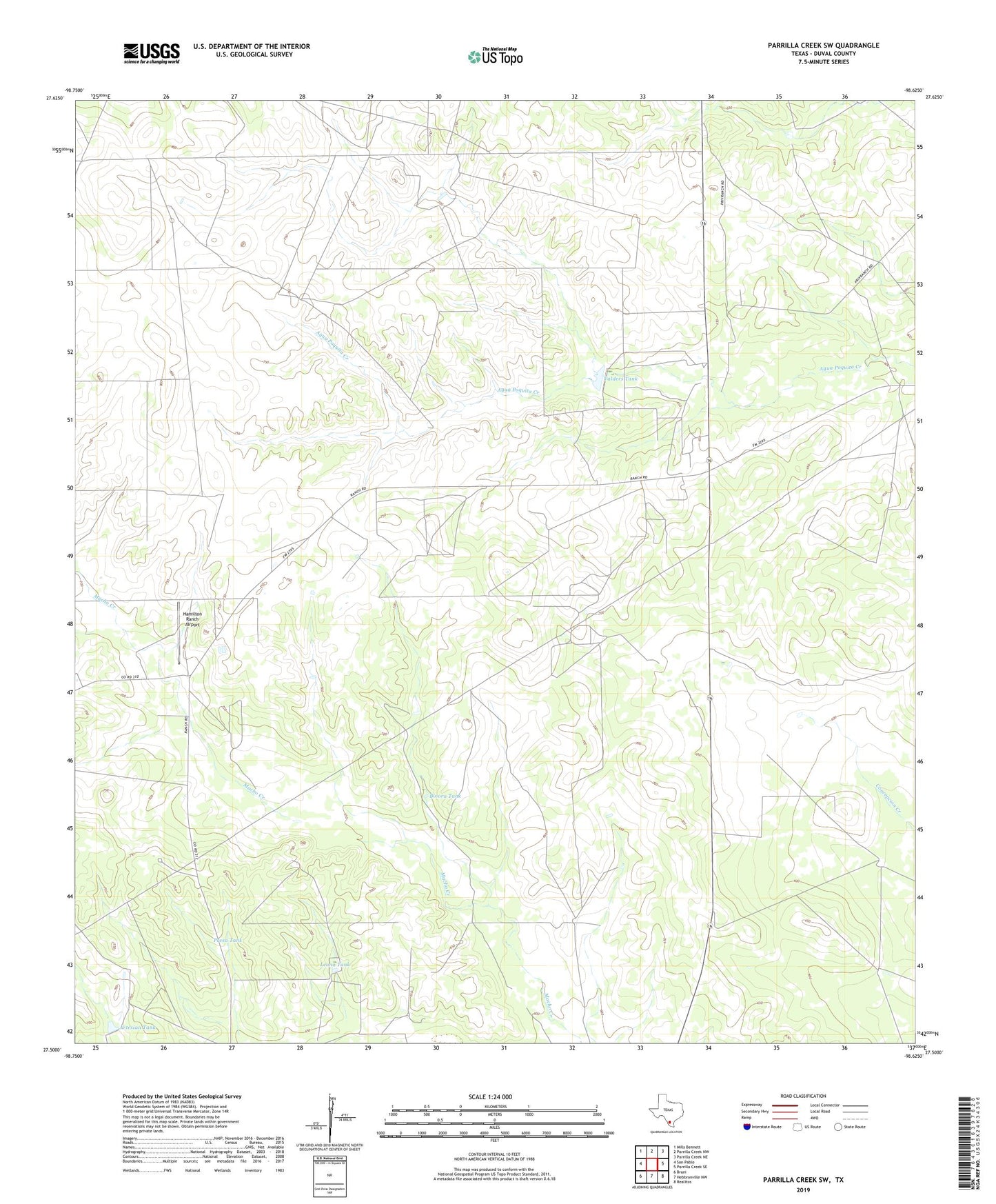
2022 topographic map quadrangle Parrilla Creek SW in the state of Texas. Scale: 1:24000. Based on the newly updated USGS 7.5' US Topo map series, this map is in the following counties: Duval. The map contains contour data, water features, and other items you are used to seeing on USGS maps, but also has updated roads and other features. This is the next generation of topographic maps. Printed on high-quality waterproof paper with UV fade-resistant inks.
Quads adjacent to this one:
West: San Pablo
Northwest: Mills Bennett
North: Parrilla Creek NW
Northeast: Parrilla Creek NE
East: Parrilla Creek SE
Southeast: Realitos
South: Hebbronville NW
Southwest: Bruni
This map covers the same area as the classic USGS quad with code o27098e6.
Contains the following named places: Artesian Pen Windmill, Artesian Tank, Benado Windmill, Bivora Tank, Callejon Windmill, Canejo Windmill, Chapote Windmill, Dog Windmill, Down Windmill, Hamilton Ranch Airport, Javalina Windmill, Leona Tank, Lina Windmill, Melones Windmill, North Windmill, Presa Tank, Savage Windmill, Solo Ranch, Valders Tank, Venada Windmill