MyTopo
Pedernales Falls Texas US Topo Map
Couldn't load pickup availability
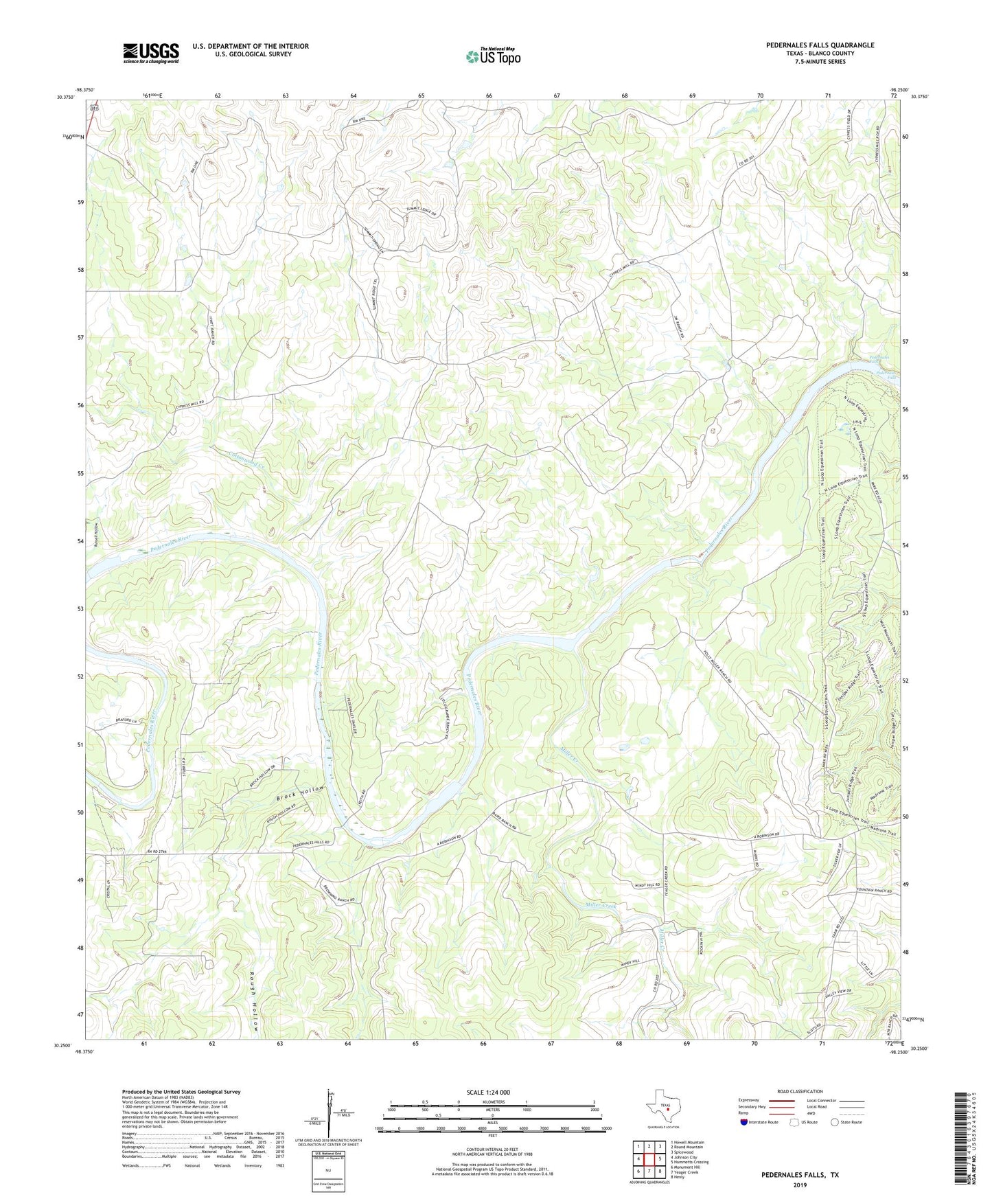
2019 topographic map quadrangle Pedernales Falls in the state of Texas. Scale: 1:24000. Based on the newly updated USGS 7.5' US Topo map series, this map is in the following counties: Blanco. The map contains contour data, water features, and other items you are used to seeing on USGS maps, but also has updated roads and other features. This is the next generation of topographic maps. Printed on high-quality waterproof paper with UV fade-resistant inks.
Quads adjacent to this one:
West: Johnson City
Northwest: Howell Mountain
North: Round Mountain
Northeast: Spicewood
East: Hammetts Crossing
Southeast: Henly
South: Yeager Creek
Southwest: Monument Hill
Contains the following named places: Brock Hollow, Cottonwood Creek, Falls Trail, Miller Creek, Pedernales Falls, Pedernales Falls State Park Equestrian Trails, Robinson Community Hall, Rough Hollow, Russell Hollow, Voyles Lazy V Ranch, Wolf Mountain Trail