MyTopo
Prickly Pear Branch Texas US Topo Map
Couldn't load pickup availability
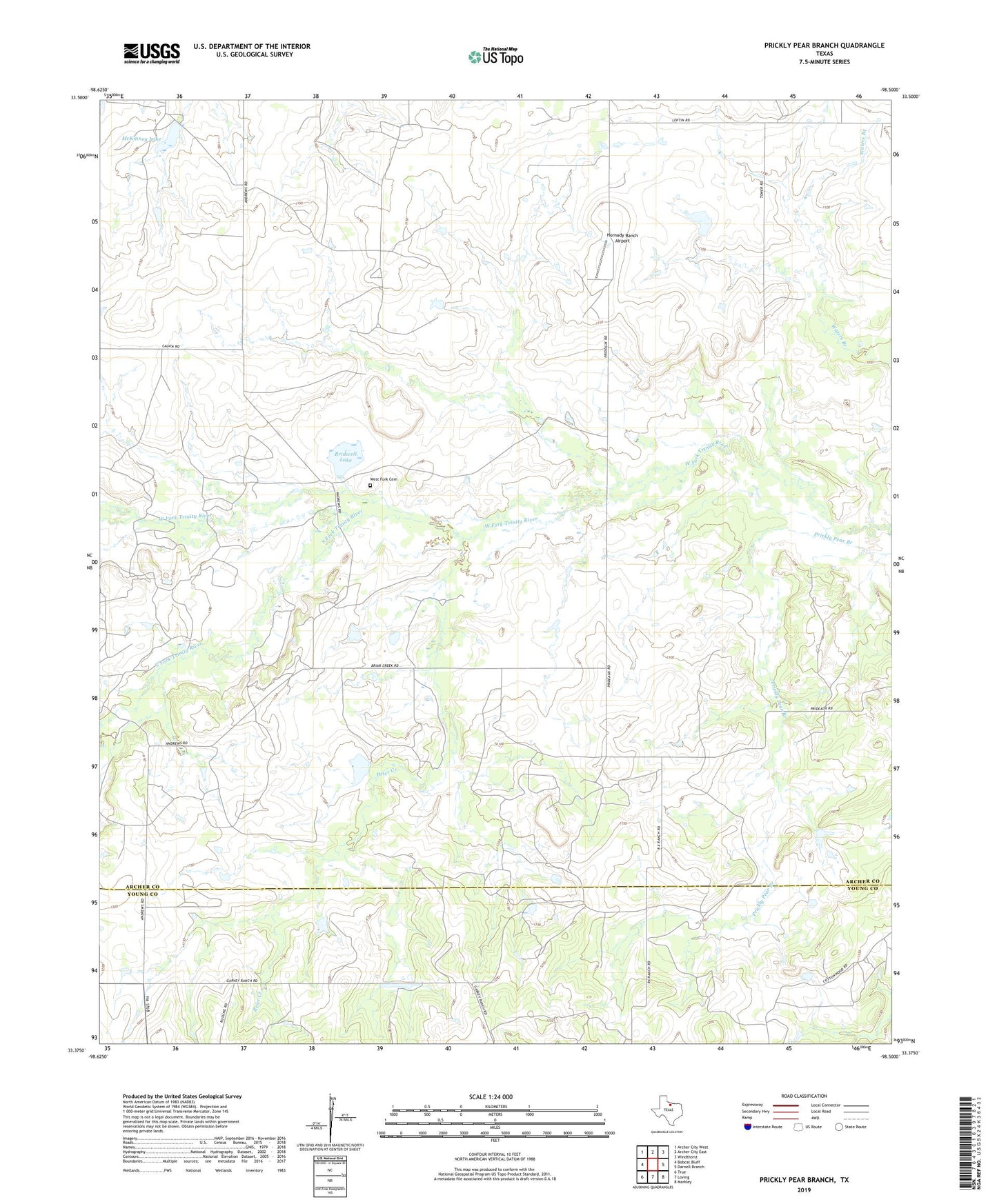
2022 topographic map quadrangle Prickly Pear Branch in the state of Texas. Scale: 1:24000. Based on the newly updated USGS 7.5' US Topo map series, this map is in the following counties: Archer, Young. The map contains contour data, water features, and other items you are used to seeing on USGS maps, but also has updated roads and other features. This is the next generation of topographic maps. Printed on high-quality waterproof paper with UV fade-resistant inks.
Quads adjacent to this one:
West: Bobcat Bluff
Northwest: Archer City West
North: Archer City East
Northeast: Windthorst
East: Darnell Branch
Southeast: Markley
South: Loving
Southwest: TRUE
This map covers the same area as the classic USGS quad with code o33098d5.
Contains the following named places: Bridwell Lake, Bridwell Lake Dam, Brier Creek, Burns-Jones Oil Field, Hornady Ranch Airport, McKinney Lake, McKinney Lake Dam, South Fork Trinity River, West Fork Cemetery