MyTopo
Roganville Texas US Topo Map
Couldn't load pickup availability
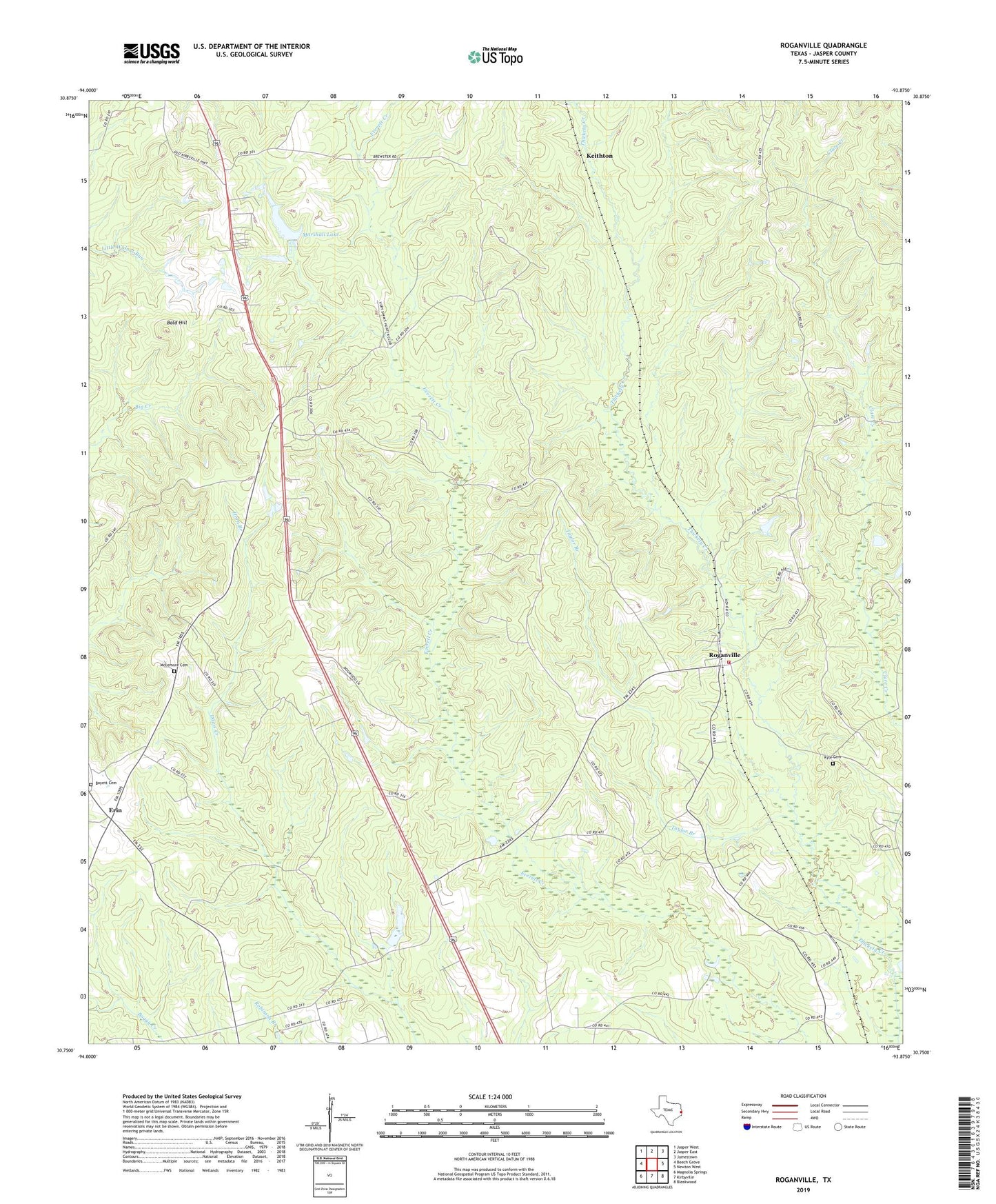
2022 topographic map quadrangle Roganville in the state of Texas. Scale: 1:24000. Based on the newly updated USGS 7.5' US Topo map series, this map is in the following counties: Jasper. The map contains contour data, water features, and other items you are used to seeing on USGS maps, but also has updated roads and other features. This is the next generation of topographic maps. Printed on high-quality waterproof paper with UV fade-resistant inks.
Quads adjacent to this one:
West: Beech Grove
Northwest: Jasper West
North: Jasper East
Northeast: Jamestown
East: Newton West
Southeast: Bleakwood
South: Kirbyville
Southwest: Magnolia Springs
This map covers the same area as the classic USGS quad with code o30093g8.
Contains the following named places: Bald Hill, Boyett Cemetery, Bulah Springs Church, Eclipse, Erin, Horn Branch, Keithton, Kyle Cemetery, Marshall Lake, Marshall Lake Dam, McLemore Cemetery, Rock Hill School, Roganville, Roganville Volunteer Fire Department, Taylor Branch, Temple Springs School, Turner-White-McGee House, Zion Hill, Zion Lookout