MyTopo
San Perlita North Texas US Topo Map
Couldn't load pickup availability
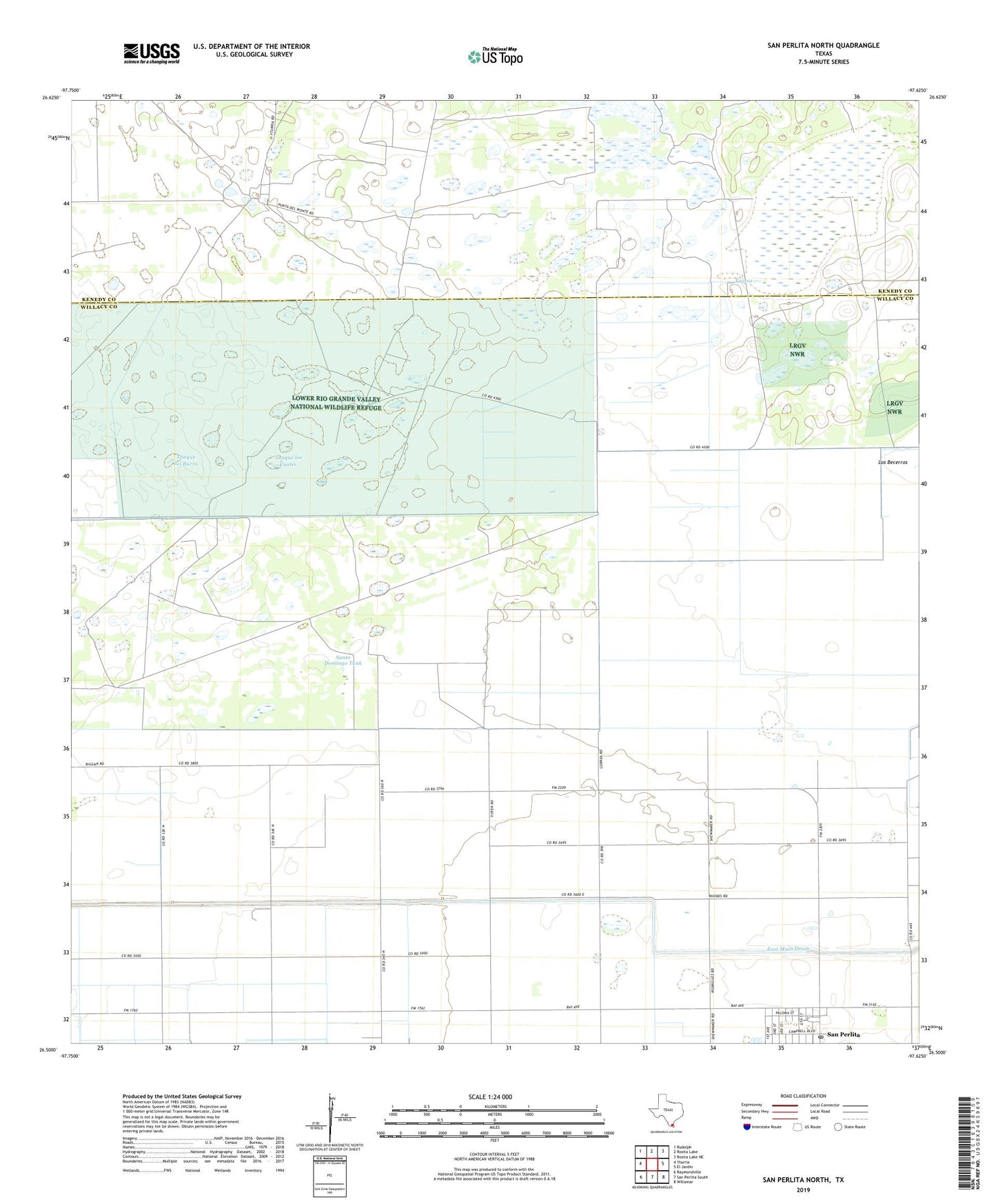
2022 topographic map quadrangle San Perlita North in the state of Texas. Scale: 1:24000. Based on the newly updated USGS 7.5' US Topo map series, this map is in the following counties: Willacy, Kenedy. The map contains contour data, water features, and other items you are used to seeing on USGS maps, but also has updated roads and other features. This is the next generation of topographic maps. Printed on high-quality waterproof paper with UV fade-resistant inks.
Quads adjacent to this one:
West: Yturria
Northwest: Rudolph
North: Rosita Lake
Northeast: Rosita Lake NE
East: El Jardin
Southeast: Willamar
South: San Perlita South
Southwest: Raymondville
This map covers the same area as the classic USGS quad with code o26097e6.
Contains the following named places: Atwood Windmill, Cabeza Blanca Windmill, City of San Perlita, East Main Drain, El Sauz Windmill, El Tajo Windmill, Fourth of July Windmill, Las Golondrinas Windmill, Los Cuates Windmill, New Windmill, Pescadito Tank, Punta del Monte Ranch, Punta del Monte Ranch Cemetery, Raymondville Oil Field, Repardo Windmill, Retama Windmill, Salado Windmill, San Perlita, San Perlita Post Office, Santo Domingo Tank, Santo Domingo Windmill, Tajitos, Tanque del Burro, Tanque los Cuates, Villarreal Artesian Well, White Wing Artesian Well, ZIP Code: 78590