MyTopo
Saspamco Texas US Topo Map
Couldn't load pickup availability
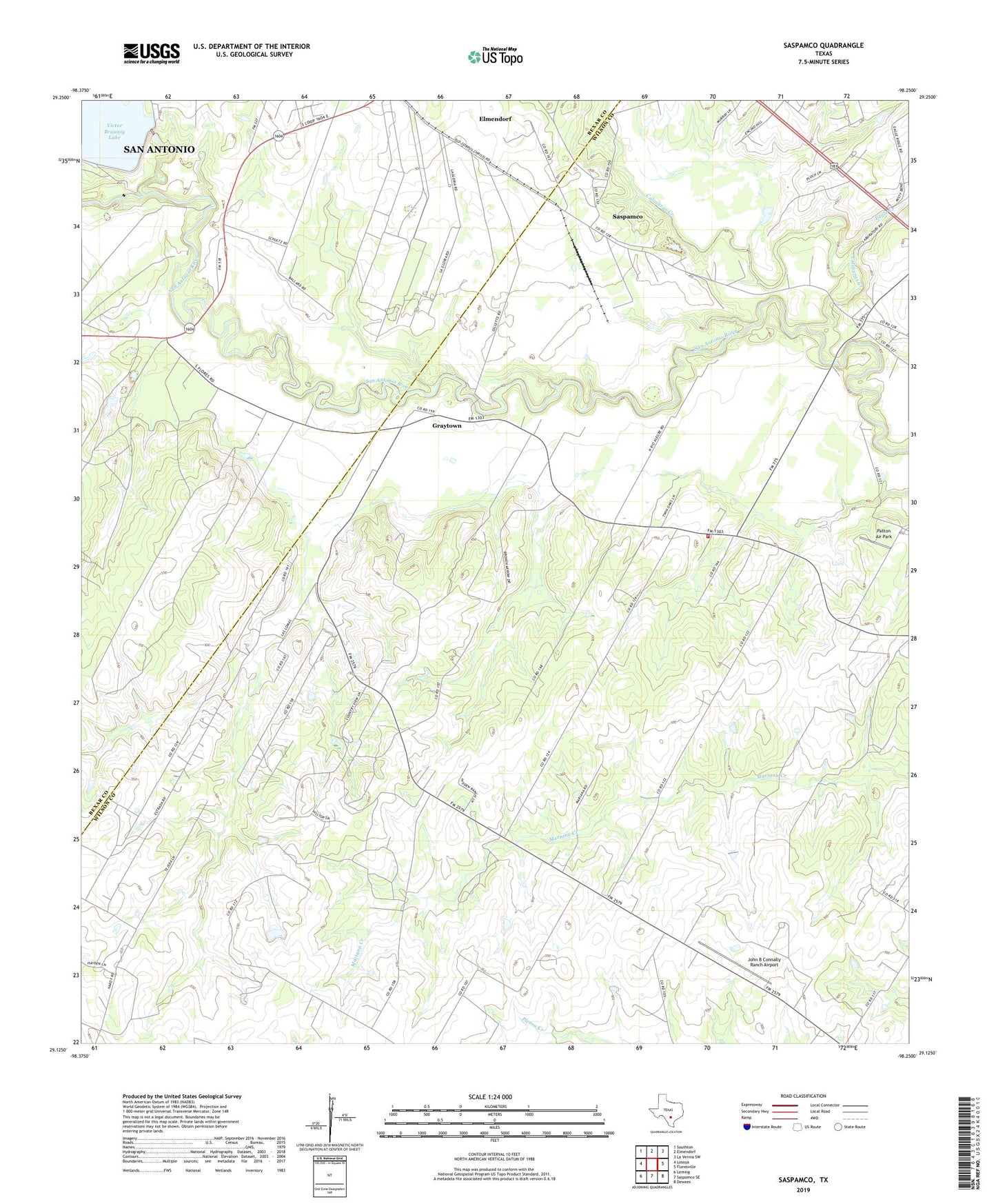
2022 topographic map quadrangle Saspamco in the state of Texas. Scale: 1:24000. Based on the newly updated USGS 7.5' US Topo map series, this map is in the following counties: Wilson, Bexar. The map contains contour data, water features, and other items you are used to seeing on USGS maps, but also has updated roads and other features. This is the next generation of topographic maps. Printed on high-quality waterproof paper with UV fade-resistant inks.
Quads adjacent to this one:
West: Losoya
Northwest: Southton
North: Elmendorf
Northeast: La Vernia SW
East: Floresville
Southeast: Dewees
South: Saspamco SE
Southwest: Leming
This map covers the same area as the classic USGS quad with code o29098b3.
Contains the following named places: Braunig Lake, Calaveras, Calaveras Creek, Canada Verde, Eagle Creek, Floresville - Canada Verde Volunteer Fire Department, Graytown, Guadalupe Church, John B Connally Ranch Airport, Patton Air Park, Saspamco, Valhalla Airport, Victor Braunig Dam