MyTopo
Bandera Mesa South Texas US Topo Map
Couldn't load pickup availability
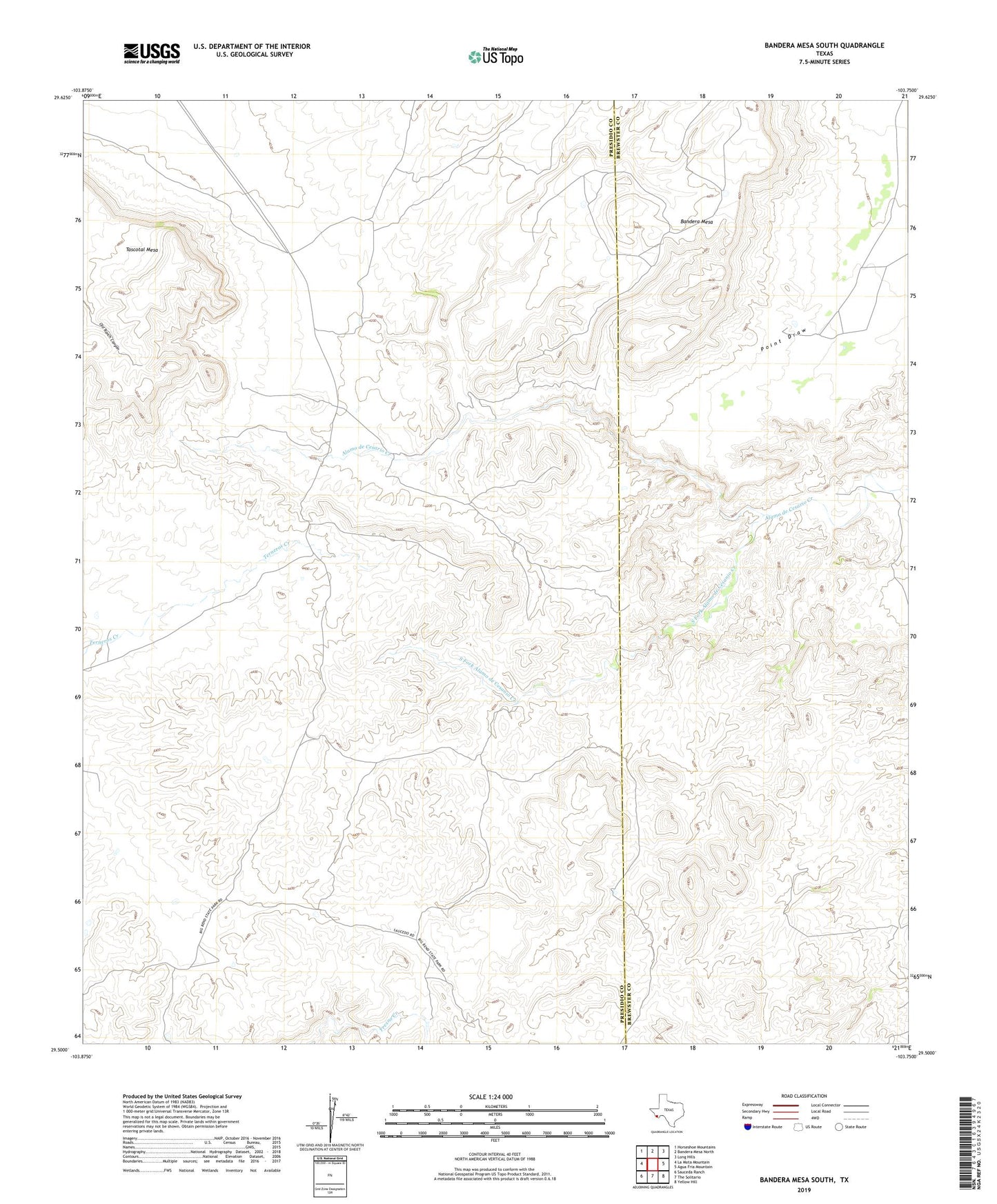
2022 topographic map quadrangle Bandera Mesa South in the state of Texas. Scale: 1:24000. Based on the newly updated USGS 7.5' US Topo map series, this map is in the following counties: Presidio, Brewster. The map contains contour data, water features, and other items you are used to seeing on USGS maps, but also has updated roads and other features. This is the next generation of topographic maps. Printed on high-quality waterproof paper with UV fade-resistant inks.
Quads adjacent to this one:
West: La Mota Mountain
Northwest: Horseshoe Mountains
North: Bandera Mesa North
Northeast: Long Hills
East: Agua Fria Mountain
Southeast: Yellow Hill
South: The Solitario
Southwest: Sauceda Ranch
Contains the following named places: Bandera Mesa, South Fork Alamo de Cesanio Creek