MyTopo
Scotts Crossing Texas US Topo Map
Couldn't load pickup availability
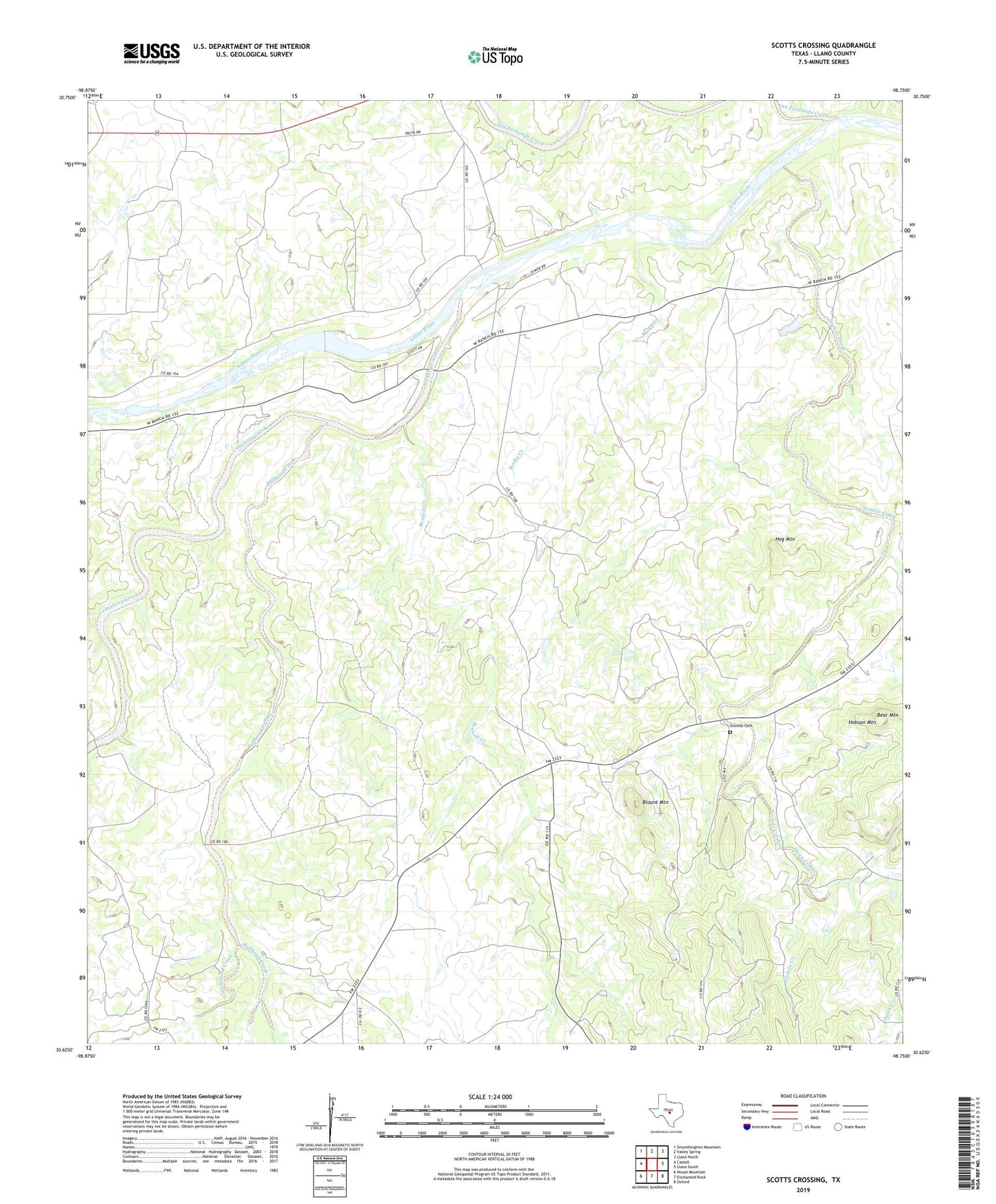
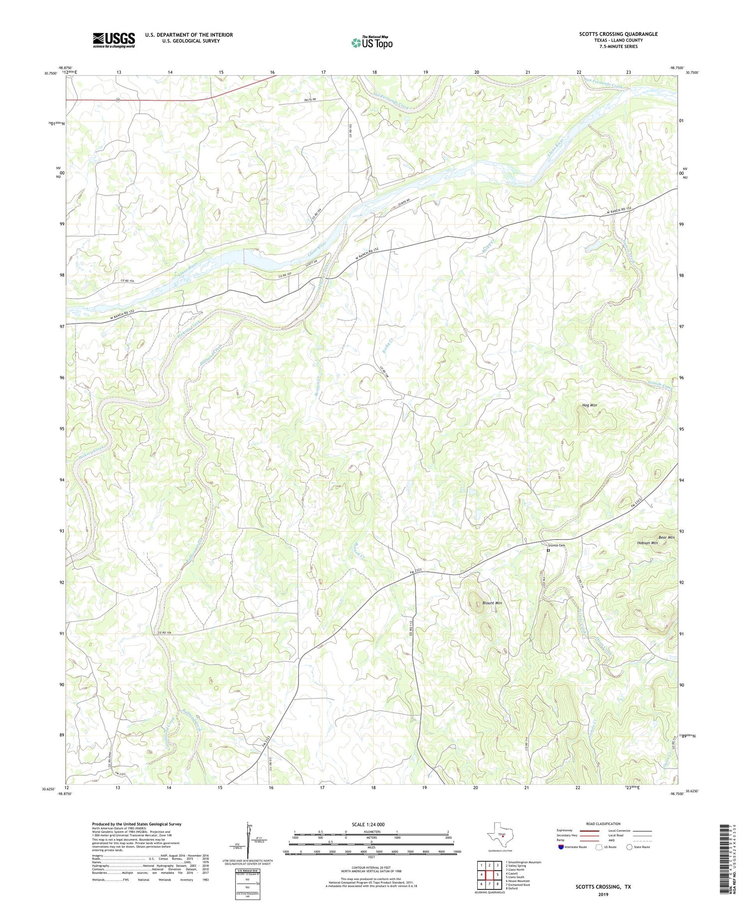
2019 topographic map quadrangle Scotts Crossing in the state of Texas. Scale: 1:24000. Based on the newly updated USGS 7.5' US Topo map series, this map is in the following counties: Llano. The map contains contour data, water features, and other items you are used to seeing on USGS maps, but also has updated roads and other features. This is the next generation of topographic maps. Printed on high-quality waterproof paper with UV fade-resistant inks.
Quads adjacent to this one:
West: Castell
Northwest: Smoothingiron Mountain
North: Valley Spring
Northeast: Llano North
East: Llano South
Southeast: Oxford
South: Enchanted Rock
Southwest: House Mountain
Contains the following named places: Bear Mountain, Bennett Creek, Blount Mountain, Bullhead Creek, Cottonwood Creek, Hickory Creek, Hobson Mountain, Hog Mountain, Owen Creek, Prairie Mountain Spring Branch, Rocky Creek, San Fernando Creek, Scotts Crossing, Sixmile Cemetery, Sixmile Creek