MyTopo
Enchanted Rock Texas US Topo Map
Couldn't load pickup availability
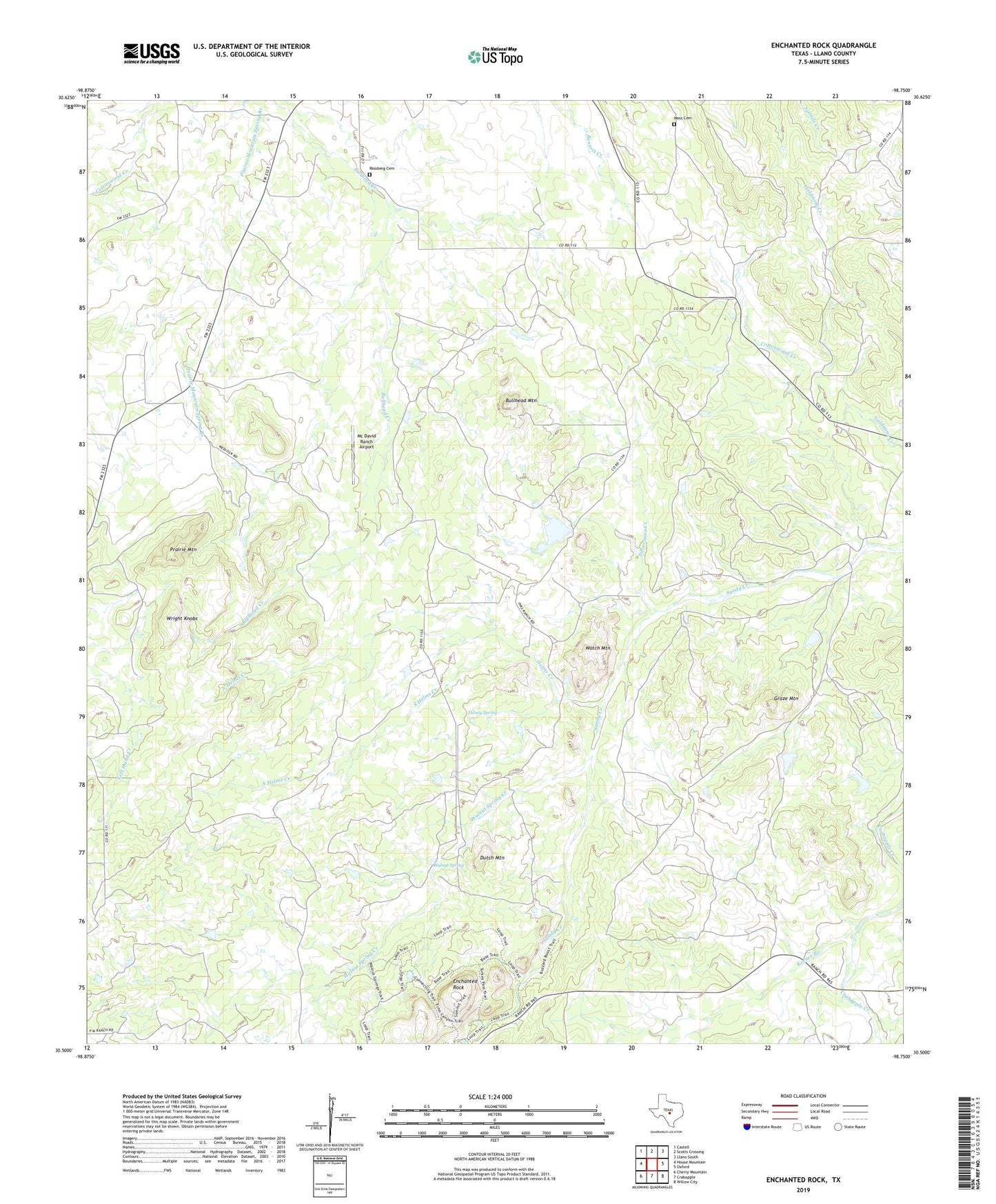
2022 topographic map quadrangle Enchanted Rock in the state of Texas. Scale: 1:24000. Based on the newly updated USGS 7.5' US Topo map series, this map is in the following counties: Llano. The map contains contour data, water features, and other items you are used to seeing on USGS maps, but also has updated roads and other features. This is the next generation of topographic maps. Printed on high-quality waterproof paper with UV fade-resistant inks.
Quads adjacent to this one:
West: House Mountain
Northwest: Castell
North: Scotts Crossing
Northeast: Llano South
East: Oxford
Southeast: Willow City
South: Crabapple
Southwest: Cherry Mountain
This map covers the same area as the classic USGS quad with code o30098e7.
Contains the following named places: Bullhead Heliport, Bullhead Mountain, Cottonwood Creek, Dutch Mountain, Echo Canyon Trail, Enchanted Rock, Enchanted Rock State Natural Area, Graze Mountain, Helms Creek, Honey Spring, Keener Branch, McDavid Ranch Airport, Moss Cemetery, North Helms Creek, Prairie Mountain, Ratliff Dam, Ratliff Lake, Rossberg Cemetery, Silvermine Creek, South Helms Creek, Summit Trail, Walnut Spring, Walnut Spring Creek, Watch Mountain, Wright Knobs