MyTopo
Scottsville Texas US Topo Map
Couldn't load pickup availability
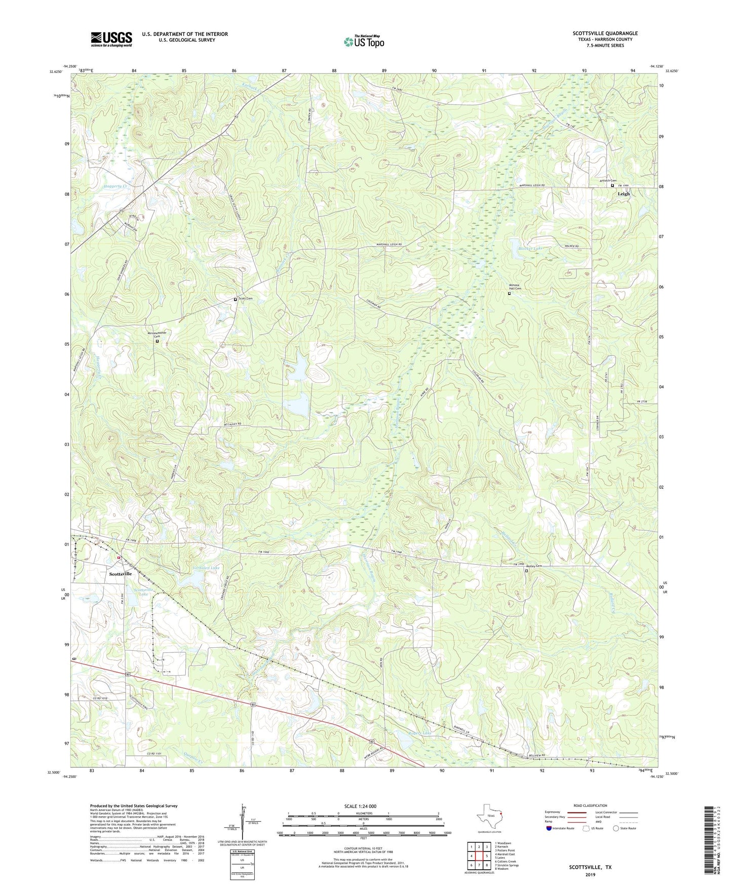
2019 topographic map quadrangle Scottsville in the state of Texas. Scale: 1:24000. Based on the newly updated USGS 7.5' US Topo map series, this map is in the following counties: Harrison. The map contains contour data, water features, and other items you are used to seeing on USGS maps, but also has updated roads and other features. This is the next generation of topographic maps. Printed on high-quality waterproof paper with UV fade-resistant inks.
Quads adjacent to this one:
West: Marshall East
Northwest: Woodlawn
North: Karnack
Northeast: Potters Point
East: Latex
Southeast: Waskom
South: Stricklin Springs
Southwest: Colliers Creek
Contains the following named places: Antioch Cemetery, Antioch Church, Antioch School, Blocker Lake, Blocker Lake Dam, Butler Creek, Caddo Lake State Park and Wildlife Management Area, James Chapel, Karnack Lookout Tower, Kelly School, Leigh, Mimosa Hall, Mimosa Hall Cemetery, Minneweather Cemetery, Motley Cemetery, Rogers Lake, Rogers Lake Dam, Saint Paul Church, Scott Cemetery, Scottsville, Scottsville Lake, Scottsville Lake Dam, Scottsville Oil Field, Scottsville Post Office, Scottsville Volunteer Fire Department, Shiloh Church, Verhalen Airport, Verhalen Lake, Verhalen Lake Dam, Waskom Division, Youree Memorial Chapel