MyTopo
White Rock Texas US Topo Map
Couldn't load pickup availability
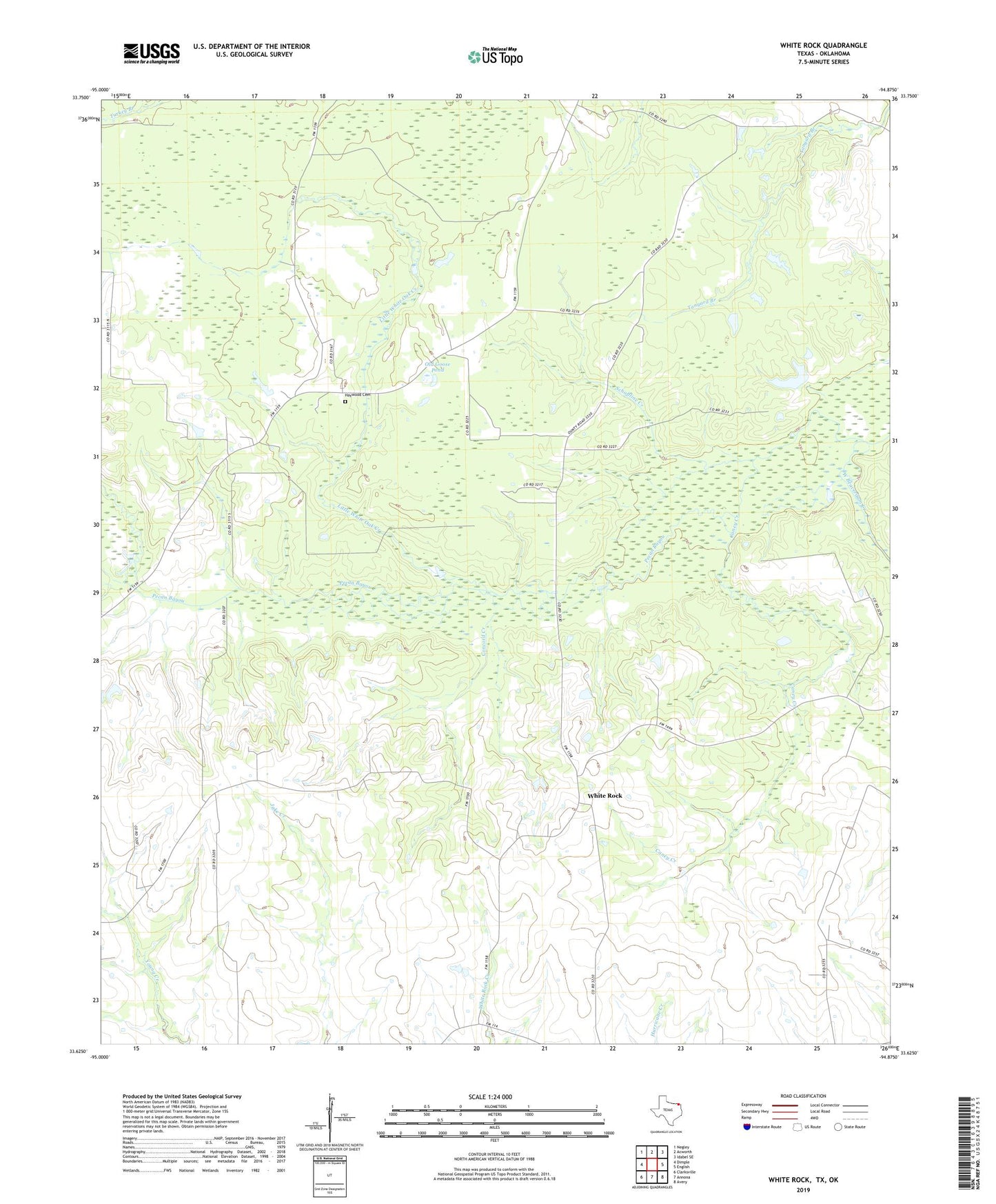
2022 topographic map quadrangle White Rock in the state of Texas. Scale: 1:24000. Based on the newly updated USGS 7.5' US Topo map series, this map is in the following counties: Red River, McCurtain. The map contains contour data, water features, and other items you are used to seeing on USGS maps, but also has updated roads and other features. This is the next generation of topographic maps. Printed on high-quality waterproof paper with UV fade-resistant inks.
Quads adjacent to this one:
West: Dimple
Northwest: Negley
North: Acworth
Northeast: Idabel SE
East: English
Southeast: Avery
South: Annona
Southwest: Clarksville
This map covers the same area as the classic USGS quad with code o33094f8.
Contains the following named places: Bryarly, Bryarly Church, Burks Ridge, Caney, Caney Creek, Caney School, Cold Spring School, Concord Church, Concord Creek, Dilworth, Haywood Cemetery, Haywood School, Little White Oak Creek, Madras, Madras School, Old Goose Pond, Reeds Settlement, Schaffline Creek, Shiloh Church, Vessey, West Beaverdam Creek, White Oak Bayou, White Rock, ZIP Code: 75426