MyTopo
Mancos Jim Butte Utah US Topo Map
Couldn't load pickup availability
Also explore the Mancos Jim Butte Forest Service Topo of this same quad for updated USFS data
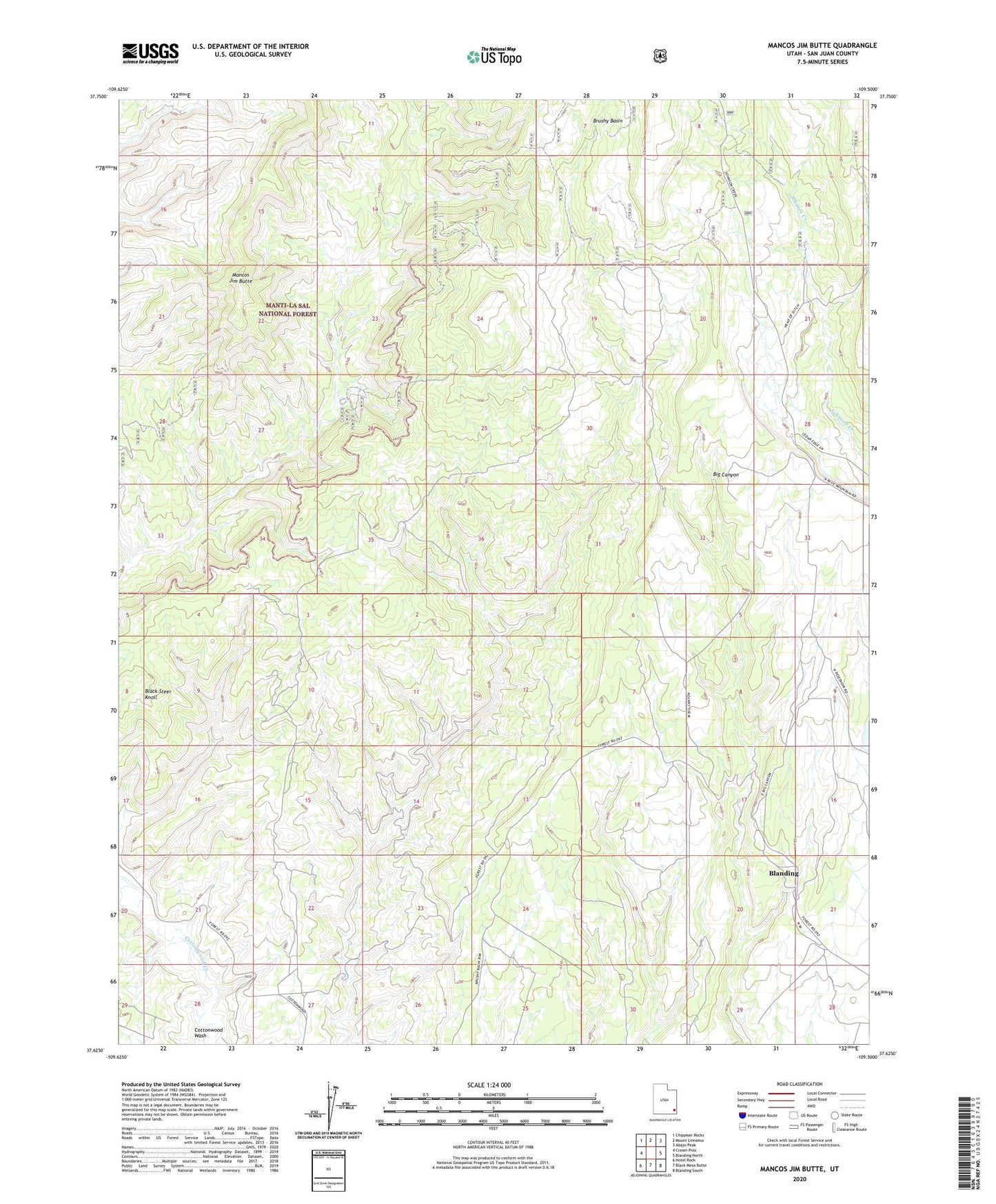
2023 topographic map quadrangle Mancos Jim Butte in the state of Utah. Scale: 1:24000. Based on the newly updated USGS 7.5' US Topo map series, this map is in the following counties: San Juan. The map contains contour data, water features, and other items you are used to seeing on USGS maps, but also has updated roads and other features. This is the next generation of topographic maps. Printed on high-quality waterproof paper with UV fade-resistant inks.
Quads adjacent to this one:
West: Cream Pots
Northwest: Chippean Rocks
North: Mount Linnaeus
Northeast: Abajo Peak
East: Blanding North
Southeast: Blanding South
South: Black Mesa Butte
Southwest: Hotel Rock
This map covers the same area as the classic USGS quad with code o37109f5.
Contains the following named places: Bee Hives, Brushy Basin, Delicate Arch Trail, Mancos Jim Butte